


Speak With A Construction Drone Expert
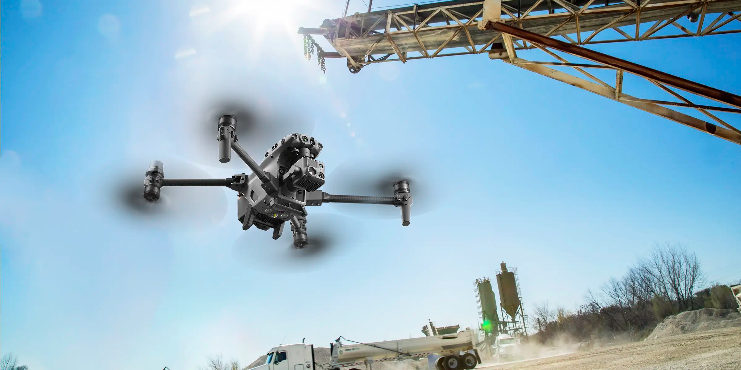
Applications for Construction Drones


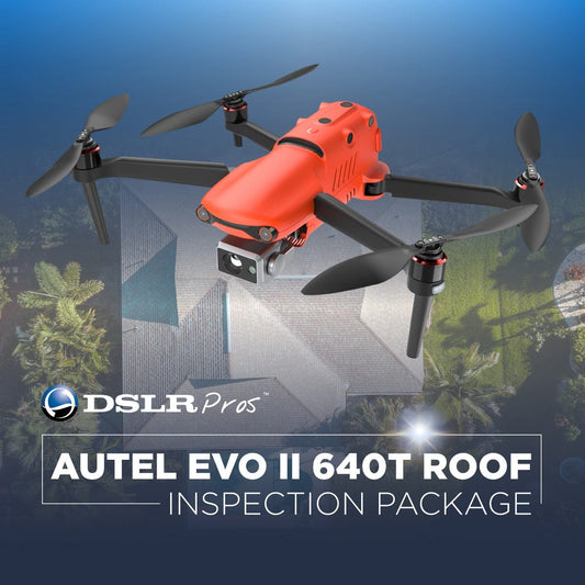
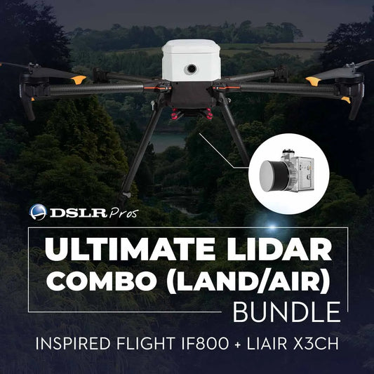
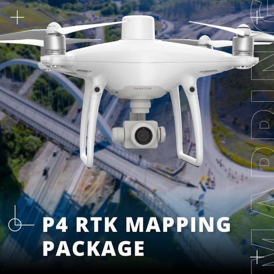
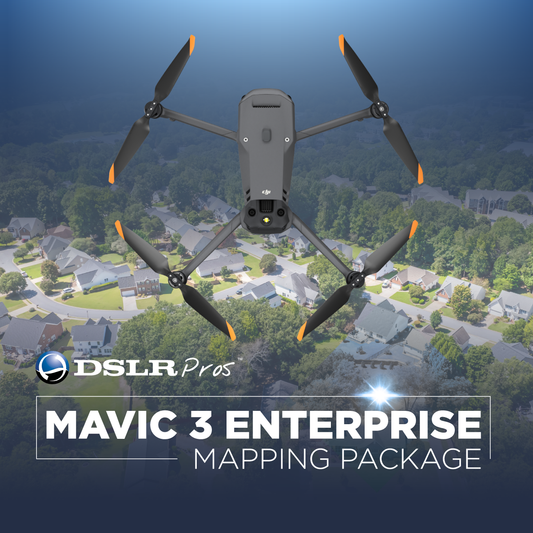
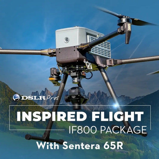
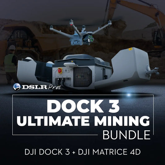
Construction and Site Inspection Drones and Bundles
-
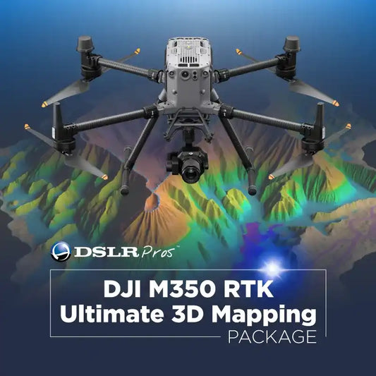
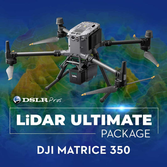
DSLRPros Matrice 350 RTK LiDAR Ultimate Package
Call for PriceSold out


Payloads for Construction and Site Inspection Drones
-
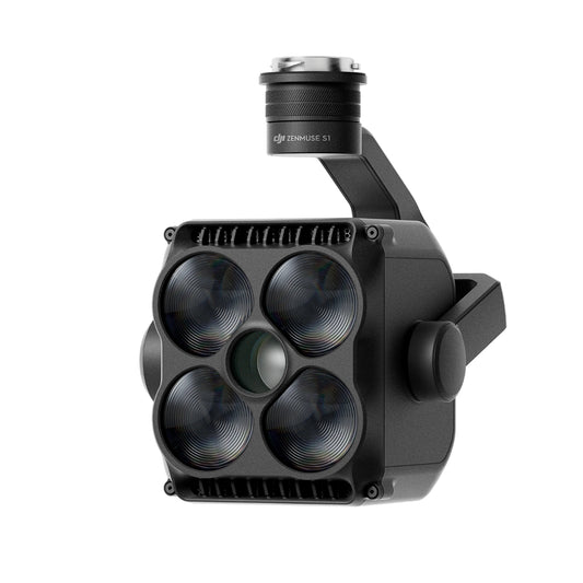
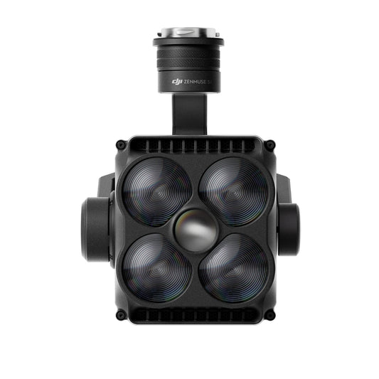
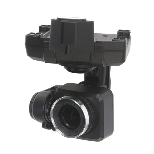
Autel L35T Gimbal Camera
Regular price $9,719.00Regular priceUnit price per -
DJI Zenmuse S1 Spotlight for Matrice 350/Matrice 300
Regular price $2,929.00Regular priceUnit price per -
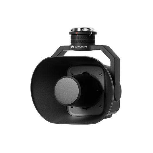
DJI Zenmuse V1 Speaker for Matrice 350/Matrice 300
Regular price $1,999.00Regular priceUnit price per -
ACSL SOTEN Standard Camera
Call for Price -
ACSL SOTEN Optical Zoom Camera
Call for Price -
ACSL SOTEN Multispectral Camera
Call for Price -
JZ Drones S3 Matrix Flash for DJI M30/M350/M300 RTK
Regular price $999.00Regular priceUnit price per -

 Sale
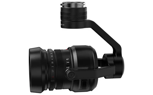
SaleDJI Zenmuse X5S
Regular price $949.00Regular priceUnit price per$2,049.00Sale price $949.00Sale -
DJI Zenmuse H30T Infrared Density Filter
Regular price $200.00Regular priceUnit price per -
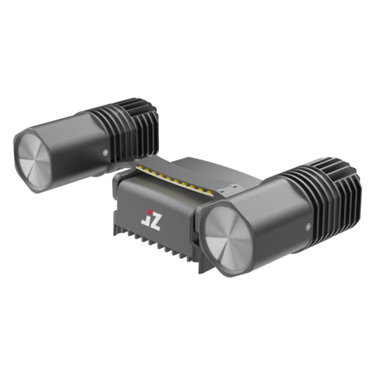
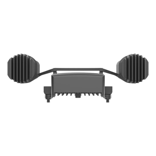
JZ Drones T90 Matrix Lamp for DJI M350/M300
Regular price $2,299.00Regular priceUnit price per -
JZ Drones T60S Matrix Lamp for DJI M30, M350/M300
Regular price $1,399.00Regular priceUnit price per -
JZ Drones PTS4 Visual Drop Kit for DJI M350/M300
Regular price $1,199.00Regular priceUnit price per -
JZ Drones PT2 Multi-Use Drop Kit for DJI M350/M300
Regular price $1,199.00Regular priceUnit price per -
JZ Drones OT4 Four Drop Kit for DJI M350/M300
Regular price $949.00Regular priceUnit price per -
JZ Drones OT2 Multi-Use Drop Kit for DJI M350/M300
Regular price $1,049.00Regular priceUnit price per -
JZ Drones H150S Visual Speaker for DJI M350/M300
Regular price $2,399.00Regular priceUnit price per -
JZ Drones H10 Gimbal Speaker for DJI M30 Series
Regular price $1,399.00Regular priceUnit price per -
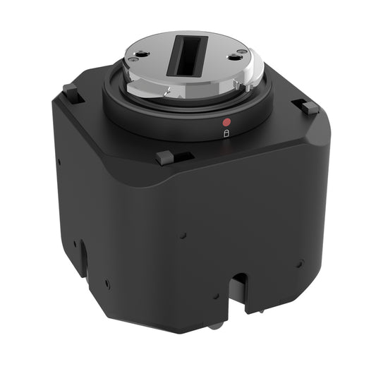
Sentera 65R Sensor Kit for M300/350 (27MM, Skyport V2)
Regular price $10,975.00Regular priceUnit price per -
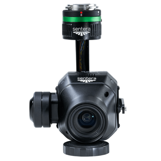
Sentera 6X Thermal Sensor Kit for M300/M350
Regular price $16,750.00Regular priceUnit price per -
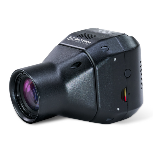
Sentera 6X Thermal Pro Sensor Kit for M300/M350
Regular price $20,275.00Regular priceUnit price per -
JZ Drones T60 60W Matrix Lamp for DJI Matrice 30 Series
Regular price $1,499.00Regular priceUnit price per -
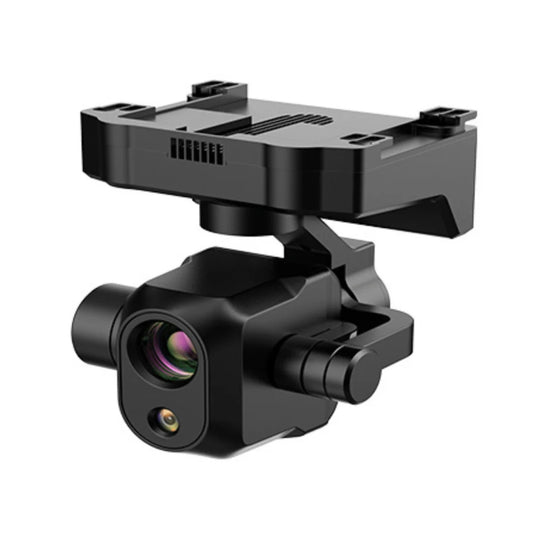
ROCK Robotic R3 Pro V2 LiDAR Kit Integration
Regular price $2,500.00Regular priceUnit price per -
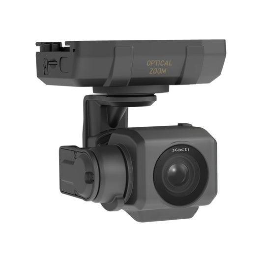
Dotterel Aerial Audio Payload For DJI M210v2 (Pre-Owned)
Regular price $499.00Regular priceUnit price per -
JZ Drones T30 Matrix Lamp for DJI Mavic 3 Enterprise Series
Regular price $899.00Regular priceUnit price per


Learn About the Technologies Available for Construction and Site Inspection Projects
Optical Cameras
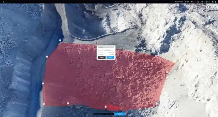
Orthomosaic Mapping
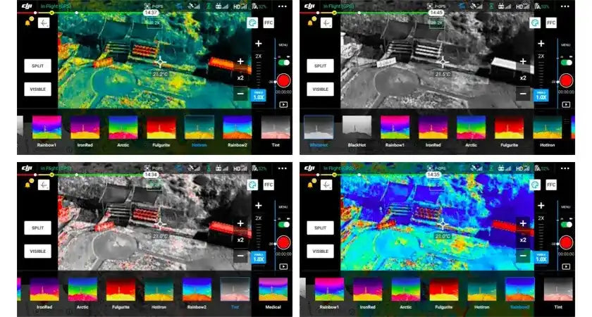
Thermal Sensors
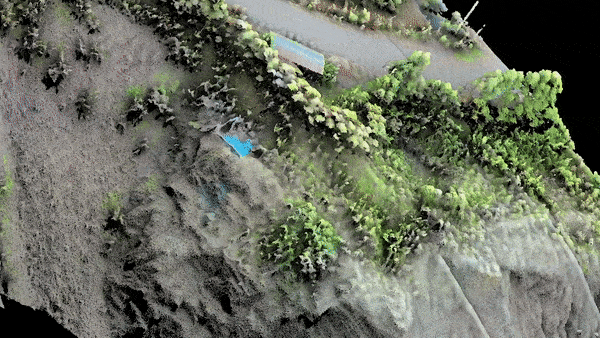
LiDAR
The DSLRPros Advantage
-

UAV THERMAL EXPERTS
We are industry leaders in thermal imaging drones. As one of the pioneers in thermal drone technology, our team of experts will help you build a custom solution that meets both your budget and needs.
-

MISSION SPECIFIC SOLUTIONS
We specialize in the development and delivery of cost-effective mission-specific enterprise solutions. All our kits are specially designed, assembled, and individually tested for quality assurance in the United States.
-

AFTER PURCHASE SUPPORT
Our customer service doesn't just end with your purchase; we go the extra mile to make sure our customers have the guidance they need. As our customer, you will know us by name and can count on us for support whenever you need it.


