
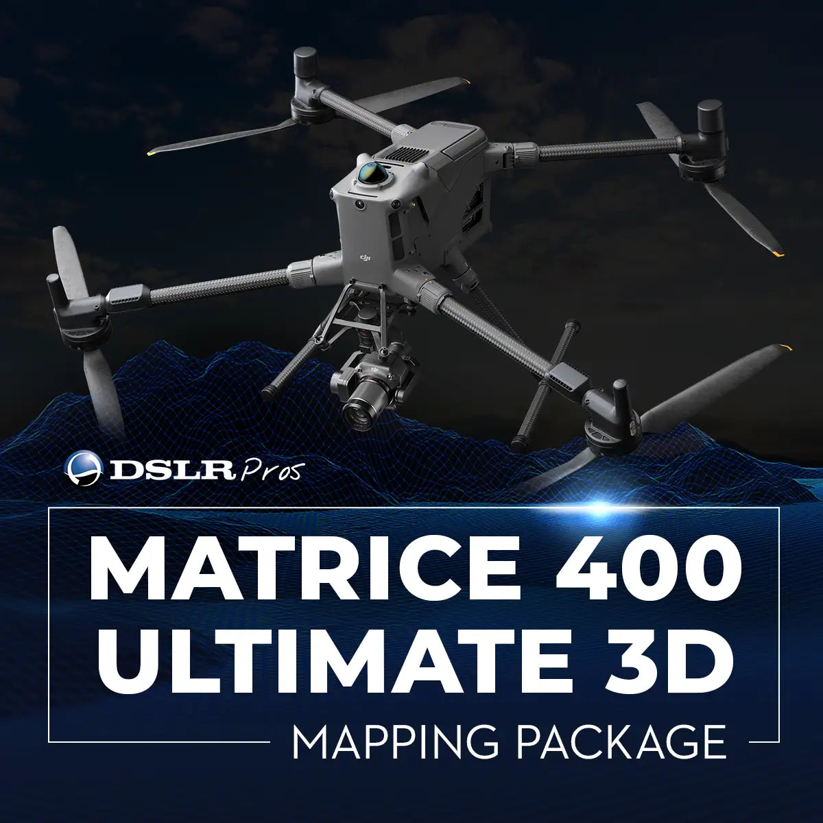
B-NB-M400-3D
DSLRPros Matrice 400 Ultimate 3D Mapping Package
Product Summary
The DSLRPros Matrice 400 Ultimate 3D Mapping Package pairs the Matrice 400 with the 45 MP full-frame Zenmuse P1, whose mechanical global shutter captures 8192x5460 pixel images across 24mm, 35mm, and 50mm DL mount lenses for high-resolution orthomosaics and 3D models. A DJI D-RTK 3 Multifunctional Station delivers centimeter-level positioning across GPS, Galileo, BeiDou, and GLONASS for repeatable survey-grade flight paths, while eight TB100 Intelligent Flight Batteries and the BS100 Battery Station support multi-sortie mapping campaigns with intelligent charging and storage. Rated for up to 59 minutes of flight time and operation from -20°C to 50°C, it's built for large-area topographic mapping, construction tracking, and infrastructure and mining surveys.
Key Features
In the Box
Vendor: DJI
MPN:
Fulfilled by: DSLRPros
Couldn't load pickup availability
Pickup available at EUAS
Usually ready in 24 hoursAll about the
DSLRPros Matrice 400 Ultimate 3D Mapping Package
Product Details & Specifications
Description
DSLRPros Matrice 400 Ultimate 3D Mapping Package: survey-grade aerial mapping with full-frame precision
The DSLRPros Matrice 400 Ultimate 3D Mapping Package is a complete aerial photogrammetry solution designed for professional surveying, mapping, and 3D reconstruction workflows. Built around the DJI Matrice 400 aircraft and the Zenmuse P1 full-frame mapping camera, this package combines long-endurance flight capability, RTK positioning, and enterprise power management.
All components are supplied new and assembled to support teams that require consistent accuracy, repeatable results, and operational efficiency across large project sites.
Core system features
- Matrice 400 aircraft supports up to 59 minutes maximum flight time.
- Zenmuse P1 45 MP full-frame sensor captures 8192 × 5460 pixel images.
- Mechanical global shutter minimizes distortion during photogrammetry missions.
- D-RTK 3 station supports centimeter-level positioning accuracy.
- Supports GPS, Galileo, BeiDou, and GLONASS satellite systems.
- Eight TB100 batteries support extended multi-sortie field operations.
- BS100 battery station supports intelligent charging and storage modes.
- O4 Enterprise transmission supports stable long-range communication links.
High-accuracy photogrammetry built around full-frame imaging
At the core of this package is the DJI Zenmuse P1, featuring a 45-megapixel full-frame CMOS sensor paired with a mechanical global shutter. The camera supports image sizes up to 8192 × 5460 pixels, enabling detailed ground sampling for high-resolution orthomosaics and 3D models. The P1 supports DJI DL mount lenses (24 mm, 35 mm, and 50 mm), allowing operators to adapt focal length based on flight altitude and required ground resolution.
When paired with the Matrice 400 platform and the DJI D-RTK 3 Multifunctional Station, the system supports centimeter-level positioning accuracy, enabling repeatable flight paths and consistent geospatial outputs suitable for professional survey workflows.
Enterprise power infrastructure for sustained field operations
The Matrice 400 is designed for extended missions, supporting a maximum flight time of up to 59 minutes (no payload) and operation in temperatures ranging from -20°C to 50°C (-4°F to 122°F).
This package includes eight DJI TB100 Intelligent Flight Batteries to support multi-sortie operations, along with the DJI BS100 Intelligent Battery Station for intelligent charging and battery management.
The BS100 supports sequential charging and storage modes, helping teams maintain battery health and reduce downtime during full-day mapping campaigns.
Professional mapping and survey applications
- Large-area topographic mapping: efficient coverage across expansive project sites.
- Survey-grade photogrammetry: high-resolution imagery for accurate 3D reconstruction.
- Construction progress tracking: repeatable capture across multiple project phases.
- Infrastructure planning: aerial datasets for roads, bridges, and site development.
- Mining and quarry surveys: site documentation and volumetric analysis workflows.
- Urban mapping projects: city-scale orthomosaic and modeling operations.
- Environmental monitoring: consistent datasets for land-use analysis and planning.
- Utility corridor mapping: linear infrastructure survey missions at scale.
Designed for enterprise mapping reliability
This package is engineered for professional mapping teams that require accuracy, endurance, and repeatability. The integration of a full-frame mapping camera, multi-GNSS RTK positioning, and enterprise battery infrastructure reduces workflow friction while supporting high-confidence results.
The package can also be further customized based on customer requirements, allowing teams to tailor payloads, power configurations, and accessories to specific operational needs.
The DSLRPros Matrice 400 Ultimate 3D Mapping Package delivers a scalable, survey-ready aerial solution for demanding mapping operations. DSLRPros provides expert consultation and integration support to help ensure the system aligns with your technical and operational requirements.
Available now from DSLRPros. Purchase today to deploy a precision-focused mapping platform built for enterprise use.
Key Features
Specifications
What's in the Box?
DSLRPRosCare Extended Warranty
DSLRPROS DJI Care is our exclusive extended warranty program, designed to give you peace of mind and extra protection for your drone investment.
- Coverage Length: 13 months from the date your product ships
- What’s Covered: Accidental damage from pilot error, collisions, drops, water exposure, signal interference, and internal malfunctions
- What’s Not Covered: Intentional misuse, modifications, loss or theft, cosmetic wear, consumables (like propellers or batteries), or operation outside manufacturer guidelines
- Replacements: One replacement during the coverage term. Replacement may be new or refurbished. If unavailable, we’ll provide a product of similar capability.
- How to File a Claim: Notify support@dslrpros.com within 7 days of an incident. Ship the product using the label we provide.
- Eligibility: Policy must be purchased before your product ships from DSLRPROS. Coverage applies only to the original purchaser.
Simple, clear protection—so you can focus on flying, not worrying.
Frequently Asked Questions
More questions? Speak with an Expert.
What camera is included in the Matrice 400 Ultimate 3D Mapping Package?
What is the maximum payload capacity of the Matrice 400?
Is the Matrice 400 weather-resistant and suitable for harsh environments?
What remote controllers are compatible with the Matrice 400?
What firmware, software or apps does the Matrice 400 support?
Can the Matrice 400 perform precise mapping without Ground Control Points (GCPs)?
Does the Matrice 400 support RTK or network RTK services?
Why is the Zenmuse P1 ideal for mapping?
DSLRPros Verified Reviews
Verified DSLRPros Reviews & Ratings
Inquire about the DSLRPros Matrice 400 Ultimate 3D Mapping Package
Our experts are here to help answer any questions you might have.
Thanks -- we got it.
Thanks! A drone specialist will be in touch within one business day.