


Redefining Commercial Drone Performance with DJI Mavic 3 Enterprise Series
The DJI Mavic 3 Enterprise Series combines cutting-edge technology with portability and ease of use, making it a powerful tool for professional drone operators. With its advanced imaging capabilities, extended flight times, and compact design, this series is ideal for a wide range of commercial applications, including mapping, surveying, inspections, search and rescue, and firefighting. Featuring the Mavic 3 Enterprise (M3E) and the Mavic 3 Thermal (M3T) variants, the series caters to diverse operational needs with precision and reliability.
Compact Design Meets Unparalleled Efficiency
Weighing just over 900 grams, the Mavic 3 Enterprise drones are among the lightest enterprise drones available. Their compact design allows for effortless transport, quick deployment, and operation in tight spaces. With a foldable frame, they are easy to store and carry, making them perfect for professionals who need flexibility and mobility.
Extended Mission Capabilities
- 45-Minute Flight Time: Cover up to 2 square kilometers on a single battery charge, ensuring more ground is surveyed in fewer trips.
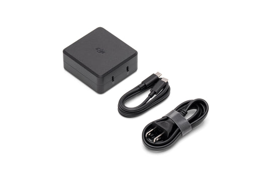
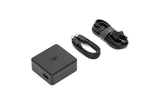
- Efficient Charging Options: Recharge directly with an 88W adapter or use the 100W charging hub for faster battery turnaround, reducing downtime between missions.
Precision Mapping and Surveying with the Mavic 3 Enterprise
- 4/3 CMOS Sensor: The Mavic 3E features a 20 MP wide-angle camera with 3.3 μm pixels, delivering exceptional image quality even in low light conditions.
- Mechanical Shutter: Eliminates motion blur and supports rapid shooting intervals of 0.7 seconds, enabling efficient data collection without sacrificing accuracy.
- 56x Hybrid Zoom: Capture detailed images from a safe distance, ideal for hard-to-reach or hazardous areas.
Optimized for Surveying Efficiency
The Mavic 3E eliminates the need for Ground Control Points by incorporating an RTK module for centimeter-level accuracy. This simplifies mapping workflows and accelerates project timelines, particularly for construction, urban planning, and environmental assessments.
Advanced Imaging for Night and Thermal Operations
Thermal Imaging for Specialized Missions
The Mavic 3T is equipped with:
- Thermal Camera: 640x512 resolution with a 61° field of view and 40 mm equivalent focal length.
- Tele Camera: 48 MP sensor with a 1/2” CMOS for detailed visuals.
- Split-Screen Zoom: Compare thermal and visual data side-by-side with up to 28x continuous zoom for comprehensive analysis.
Enhanced Night Performance
The Mavic 3T’s thermal capabilities make it an indispensable tool for firefighting, search and rescue, and inspections. Features like point and area temperature measurement, high-temperature alerts, and customizable isotherms allow professionals to identify anomalies and act swiftly during critical operations.
Reliable Communication and Transmission
DJI O3 Enterprise Transmission for Greater Range
With a control range of up to 15 kilometers, the Mavic 3 Enterprise drones provide stable, uninterrupted communication even in challenging environments.
- 1080p/30fps Video Feed: Real-time, high-definition live broadcasts ensure operators can monitor and respond effectively during missions.
- Anti-Interference Technology: Ensures signal stability in areas with high electromagnetic activity.
Safety Features That Inspire Confidence
The Mavic 3 Enterprise Series incorporates DJI APAS 5.0 with six omnidirectional fish-eye sensors, offering 360-degree obstacle detection without blind spots. This technology provides smooth navigation in complex environments, reducing risks during operations.
AirSense and Enhanced Situational Awareness
- ADS-B Integration: Alerts pilots to nearby manned aircraft, ensuring safer airspace operations.
- Flight Autonomy: Smart systems continuously monitor surroundings to assist with safe landings and path adjustments.
Applications Across Industries
Mapping and Surveying
- Generate highly accurate maps and models with the M3E’s mechanical shutter and RTK module, improving efficiency in urban planning, construction, and land management.
- Capture high-resolution data for volumetric calculations, terrain modeling, and site analysis, saving time and resources on large-scale projects.
Public Safety and Emergency Response
- Use the M3T’s thermal camera to locate missing persons in search and rescue missions or pinpoint hotspots in firefighting scenarios.
- Broadcast instructions to teams or civilians using the speaker accessory, enhancing coordination and communication during emergencies.
Utility and Infrastructure Inspections
- Inspect power lines, pipelines, and solar farms with the M3E’s zoom and thermal capabilities to detect faults or inefficiencies without interrupting operations.
- Improve maintenance workflows with detailed imaging of hard-to-reach structures like wind turbines and bridges.
Environmental Monitoring and Wildlife Conservation
- Conduct aerial surveys of forests, wetlands, or protected areas to track wildlife and monitor ecosystem changes.
- Detect illegal activities such as logging or poaching using the thermal capabilities of the M3T, minimizing disturbance to natural habitats.
Agriculture and Resource Management
- Monitor crop health, irrigation systems, and field conditions using high-resolution imaging to optimize resource use and increase yields.
- Assess land conditions for sustainable farming and land reclamation projects.
Industrial Applications
- Evaluate equipment in factories or industrial plants with thermal imaging to identify overheating components or inefficiencies.
- Oversee operational safety and compliance in hazardous environments with minimal risk to personnel.
Accessories for Enhanced Productivity
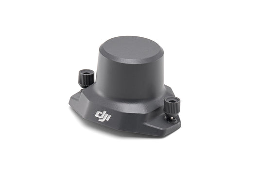
- RTK Module: Achieve centimeter-level positioning for precise mapping and surveying.
- Smart Controller: Offers an intuitive interface with a high-brightness display, perfect for outdoor operations.
- Battery Charging Hub: Rapidly charges multiple batteries for uninterrupted missions.
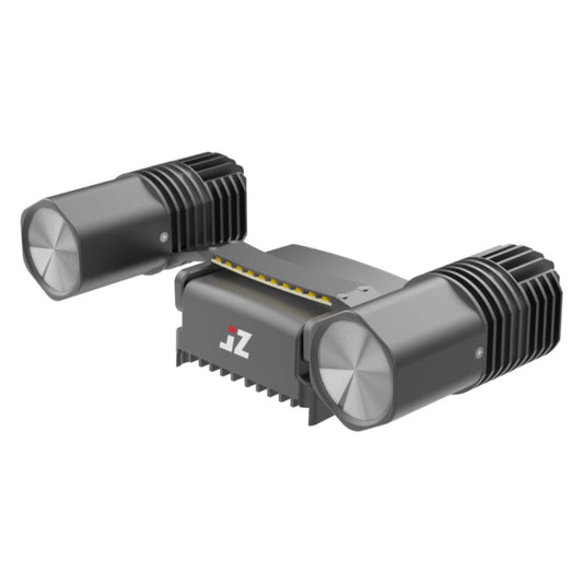
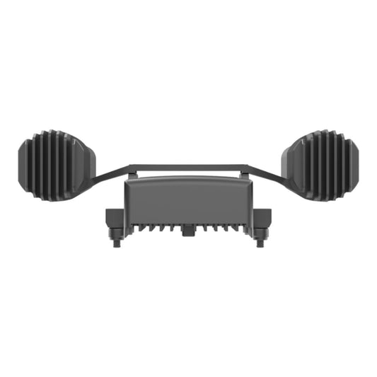
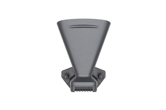
- Speaker and Spotlight Attachments: Enhance communication and visibility during nighttime or emergency operations.
Elevate Your Drone Program
The DJI Mavic 3 Enterprise Series offers unmatched performance, versatility, and reliability in a compact package. Whether you’re managing infrastructure, protecting natural resources, or responding to emergencies, these drones deliver the tools you need to succeed.
Contact DSLRPros today to learn more about the Mavic 3 Enterprise Series or to customize a bundle tailored to your organization’s needs. Our experts are ready to help you enhance your drone program and achieve your operational goals.

