


-
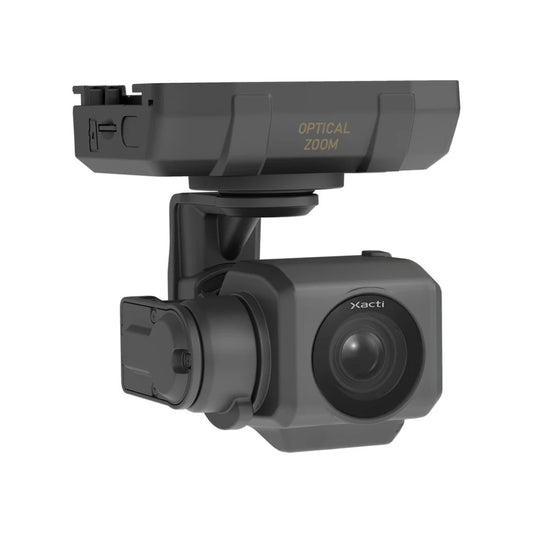
Sentera 6X Thermal Pro Sensor Kit for Inspired Flight IF800
Regular price $21,350.00Regular priceUnit price per -
GeoCue TrueView 1 Lite LiDAR Sensor
Regular price $20,890.00Regular priceUnit price per -
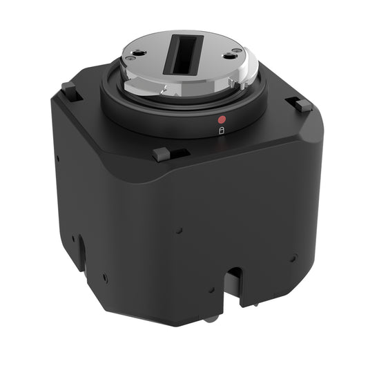
DJI Zenmuse L3 LiDAR Camera
Regular price $17,400.00Regular priceUnit price per -
Autel Alpha DT60S+DH1E Loudspeaker & Spotlight
Regular price $1,399.00Regular priceUnit price per -
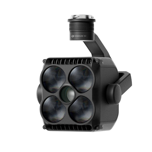
DJI Zenmuse S1 Spotlight
Regular price $1,699.00Regular priceUnit price per -
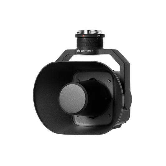
DJI Zenmuse V1 Speaker
Regular price $1,219.00Regular priceUnit price per -
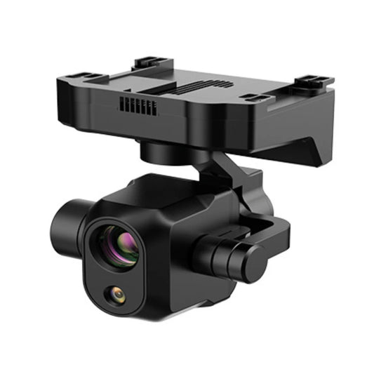
ACSL SOTEN High Resolution Thermal Camera
Regular price $7,900.00Regular priceUnit price per -
 Sold out
ACSL SOTEN Standard Camera
Regular price $1,000.00Regular priceUnit price per -
ACSL SOTEN Optical Zoom Camera
Regular price $1,725.00Regular priceUnit price per -
ACSL SOTEN Multispectral Camera
Regular price $5,405.00Regular priceUnit price per -
JZ Drones PTS4 Visual Drop Kit for M300/M350/M400
Regular price $1,199.00Regular priceUnit price per -
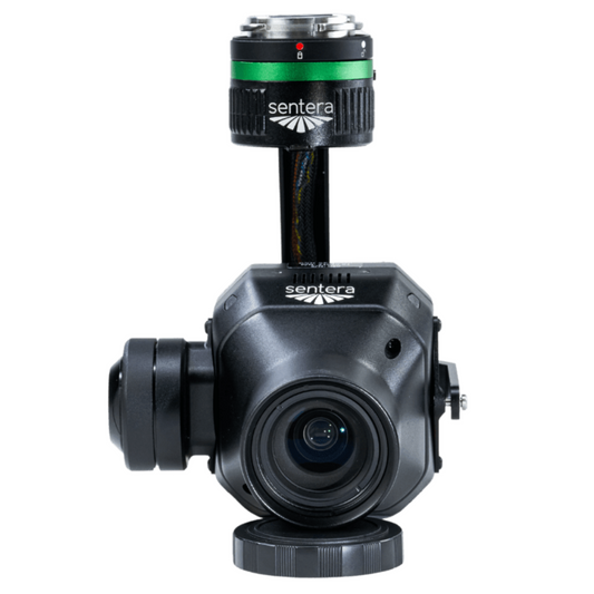
Sentera 65R Sensor Kit for Matrice 300 / Matrice 350 / Matrice 400 (27MM, Skyport V2)
Regular price $11,950.00Regular priceUnit price per


Roof Inspection
-

High-Resolution Imaging
-

Safe Access
-

Time & Cost Savings


Building Inspection
-

Exterior Access
-

Detailed Imaging
-

Faster Reporting


Industrial Inspection
-

Risk-Free Access
-

High-Resolution Insights
-

Operational Efficiency


Construction Surveying
-

Accurate Site Mapping
-

Time-Saving Surveys
-

Compliance and Safety


Mapping
-

High-Resolution Maps
-

3D Modeling
-

Cost Efficiency


10 Ways Drones Benefit Construction Projects
-

Faster Site Surveys
-

3D Modeling
-

Accurate Progress Tracking
-

Improved Safety
-

Thermal Insights
-

Environmental Monitoring
-

Better Project Documentation
-

Efficient Material Management
-

Reduced Rework
-

Cost Savings


-

Accurate Mapping
-

Construction Oversight
-

Industrial Scale


The DSLRPros Advantage
-

UAV THERMAL EXPERTS
We are industry leaders in thermal imaging drones. As one of the pioneers in thermal drone technology, our team of experts will help you build a custom solution that meets both your budget and needs.
-

MISSION SPECIFIC SOLUTIONS
We specialize in the development and delivery of cost-effective mission-specific enterprise solutions. All our kits are specially designed, assembled, and individually tested for quality assurance in the United States.
-

AFTER PURCHASE SUPPORT
Our customer service doesn't just end with your purchase; we go the extra mile to make sure our customers have the guidance they need. As our customer, you will know us by name and can count on us for support whenever you need it.


