


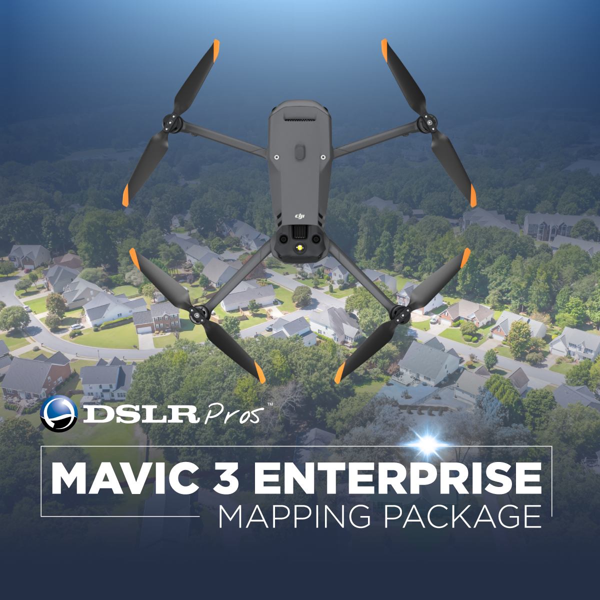
DJI M3E Pro Mapping Package
When it comes to small commercial drones, the DJI Mavic 3 Enterprise Series sets new standards. One of the variants in this series is the DJI Mavic 3 Enterprise Professional Mapping Package, a customizable package you can get at DSLRPros.
Like all the other variants, this bundle takes mapping and mission efficiency to a whole new level with a mechanical shutter, a 56x zoom camera, and an option to add an RTK module for centimeter-level accuracy. But this bundle gives you the option to add more accessories and drone software tailored-fit for your organization's needs.
It is designed to perform on extended missions, making it ideal for both novice and experienced pilots. For nighttime operations, search and rescue, inspection, and combating fires, a thermal variant is provided.
Portability and operational efficiency
Weighing just about 915 g, Mavic 3 Enterprise is one of the market's lightest and most compact enterprise drones. It can be quickly deployed and can be easily held in one hand.
The batteries of the aircraft are optimized for endurance. With a 45-minute flight time at full charge, you may survey up to 2 square kilometers in a single trip, increasing the amount of ground you can cover on every mission.
After the flight, you may directly charge the drone with 88W or use a 100W charging hub to charge the batteries quickly.
Better mapping and surveying capabilities
Without the need for Ground Control Points, the DJI Mavic 3 Enterprise Professional Mapping Package's exceptional feature set allows for improved mapping and surveying efficiency.
With the Intelligent Low-Light Mode and a 20 MP wide-angle camera integrated into a 4/3 CMOS sensor with huge 3.3 mm pixels, you get a camera that performs well even in low light.
The drone also features a strong hybrid zoom lens of up to 56x. Even better, you can capture photographs with a 12MP equivalent focal length of 162mm. Motion blur is eliminated via a mechanical shutter, which also enables quick 0.7-second interval shooting.
Optimal image transmission
The DJI Mavic 3 Enterprise drone can fly farther and transmit signals with more stability thanks to DJI O3 Enterprise Transmission, which allows for a maximum control range of 15 km. This gives pilots more confidence when flying.
The aircraft also offers a 1080p/30fps high frame rate live broadcast. Transmission distance is a proxy for signal strength.
Flight safety a priority
DJI has always been at the forefront of the drone market in terms of creating cutting-edge safety features, and the DJI Mavic 3 Enterprise Professional Mapping Package carries on this tradition with better object detecting and navigation algorithms that provide drone pilots with the direction they need to remain safe.
The M3E drone has DJI AirSense, which collects ADS-B signals from surrounding conventional aircraft to alert drone pilots of nearby air activity. Six omnidirectional fish-eye sensors are also installed, enabling the new and upgraded DJI APAS system 5.0 for obstacle detection with no blind spots.
Watch the product videos to learn more about the DJI Mavic 3E and its features. Request a quote and contact our drone experts at now (877) 299-1075 for a customized DJI Mavic 3 Enterprise Professional Mapping Package bundle best-suited for your organization's UAV fleet or if you need help jumpstarting your company's drone program.

