


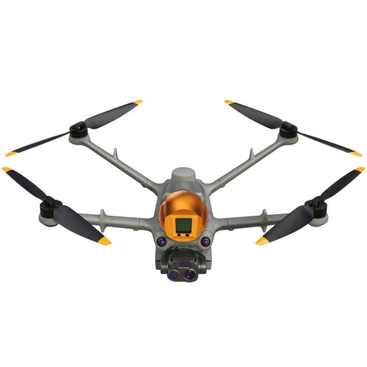

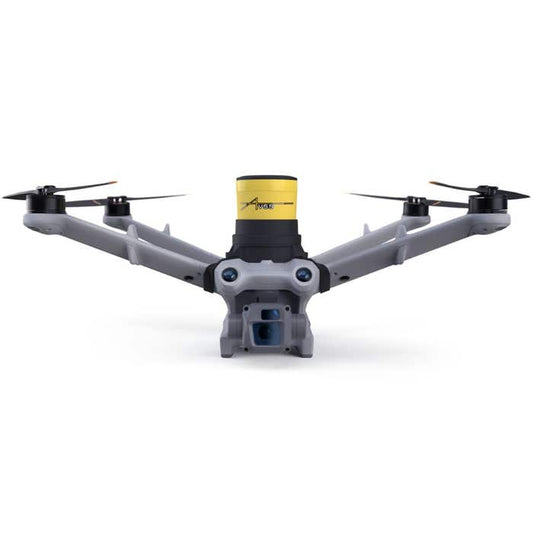


Professional Aerial Imaging with the DJI Matrice 3D Series
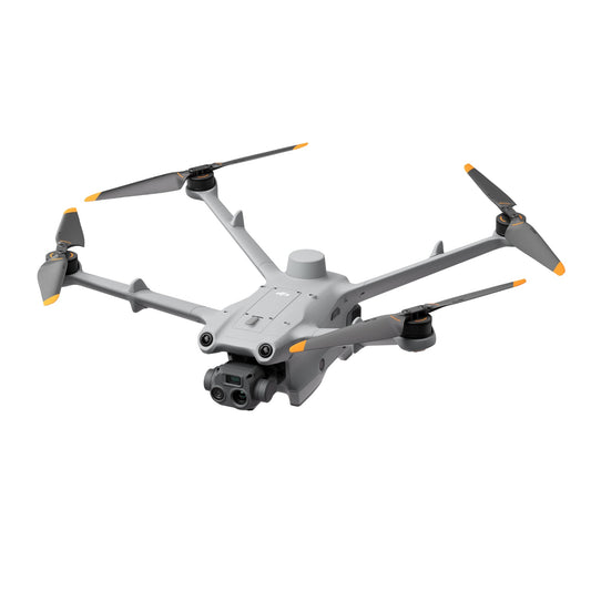
The DJI Matrice 3D Series sets a new standard for professional aerial imaging, combining cutting-edge technology with exceptional performance. Featuring the Matrice 3D and Matrice 3TD models, this series is engineered to redefine mapping, inspection, and surveillance workflows across diverse industries. With advanced payload options, intelligent flight systems, and robust designs, the Matrice 3D Series empowers professionals to achieve unparalleled accuracy and efficiency in their operations.
Advanced Features of the DJI Matrice 3D Series
Optimized for Precision Mapping and Imaging
- Dual Payload Support: The Matrice 3D supports dual payload configurations, allowing users to integrate high-resolution visual sensors alongside specialized tools like LiDAR or thermal imaging cameras for comprehensive data collection.
- High-Resolution Visual Cameras: Equipped with a 48MP wide-angle camera, capable of 8K video capture, ensuring stunning clarity for detailed inspections and surveys.
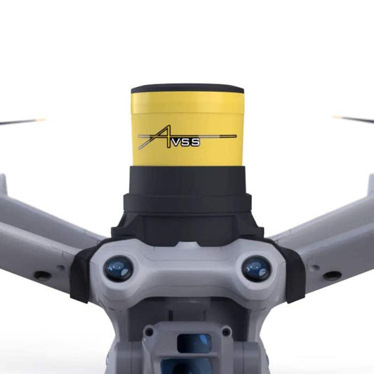
- Thermal Imaging with the Matrice 3TD: Features a radiometric thermal sensor with 640x512 resolution, enabling accurate heat detection and analysis for applications such as firefighting, search and rescue, and industrial monitoring.
Enhanced Flight Capabilities
- Extended Flight Time: Provides up to 50 minutes of flight time, ensuring uninterrupted operations for large-scale projects.
- Wide Temperature Range: Operates seamlessly in temperatures from -4°F to 122°F, making it suitable for extreme environments.
- Weather-Resistant Design: An IP55 rating protects the drone from rain, dust, and harsh weather conditions, ensuring reliable performance across diverse terrains.
Cutting-Edge Safety Systems
- Omnidirectional Obstacle Sensing: Six-directional obstacle sensors and advanced algorithms provide superior safety and stability during complex missions.
- ADS-B Integration: Alerts operators to nearby manned aircraft, enhancing situational awareness in shared airspace.
- Emergency Recovery Features: Equipped with redundant systems and optional parachutes to minimize risks during unexpected situations.
Intelligent Flight and Data Solutions
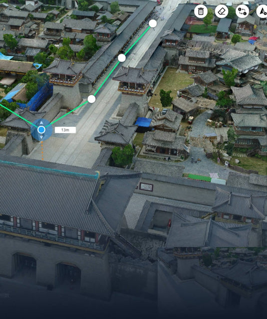
Waypoint 3.0 for Automated Precision
- Create detailed flight paths with up to 65,535 waypoints for automated mapping and inspections.
- Adjust payload actions, such as camera angles and shutter intervals, to capture consistent, high-quality data.
PinPoint and Smart Track
- PinPoint allows users to mark specific objects in real time and share precise coordinates with ground teams, enhancing collaborative operations.
- Smart Track automatically follows moving subjects, maintaining focus and stability for dynamic scenarios like traffic monitoring or wildlife tracking.
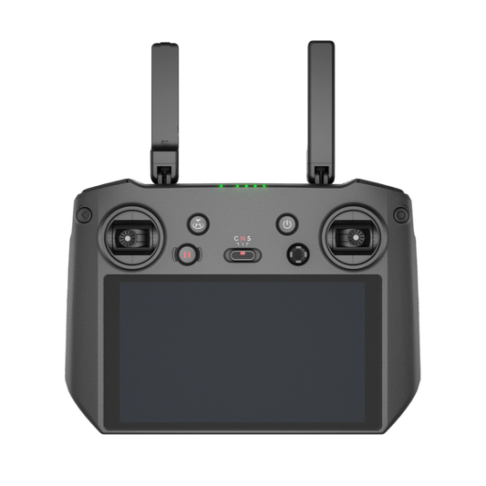
DJI Pilot 2 Software
- Offers an intuitive interface for mission planning, real-time data monitoring, and seamless payload control.
- Integrates with FlightHub 2 for centralized cloud-based management and real-time collaboration across teams.
Industry Applications for the DJI Matrice 3D Series
Mapping and Surveying
- Collect high-accuracy data for terrain modeling, urban planning, and volumetric calculations with photogrammetry and LiDAR payloads.
- Ideal for industries such as construction, mining, and civil engineering.
Infrastructure Inspection
- Inspect powerlines, wind turbines, pipelines, and bridges with high-resolution cameras and thermal sensors.
- Detect anomalies, such as overheating equipment or structural weaknesses, to prevent costly failures.
Public Safety and Emergency Response
- Use thermal imaging to locate individuals in search and rescue operations or identify hotspots in firefighting scenarios.
- Monitor large public gatherings or disaster-stricken areas for real-time situational awareness.
Environmental Monitoring
- Monitor ecosystems, track wildlife populations, and detect illegal activities like logging or poaching with minimal environmental disruption.
- Supports industries such as conservation, forestry, and environmental science.
Agriculture and Land Management
- Assess crop health, optimize irrigation, and manage resources effectively using multispectral imaging.
- Enhance productivity and sustainability in agriculture and land use planning.
Media and Cinematic Production
- Capture stunning aerial footage for commercials, documentaries, and feature films with advanced visual cameras and stable flight capabilities.
Payload Options for Tailored Solutions
Visual Payloads
- 48MP wide-angle cameras deliver high-resolution imaging and 8K video for detailed data capture.
Thermal Imaging
- The Matrice 3TD’s thermal sensor provides heat signature analysis for applications requiring temperature-based insights, such as firefighting or equipment monitoring.
LiDAR
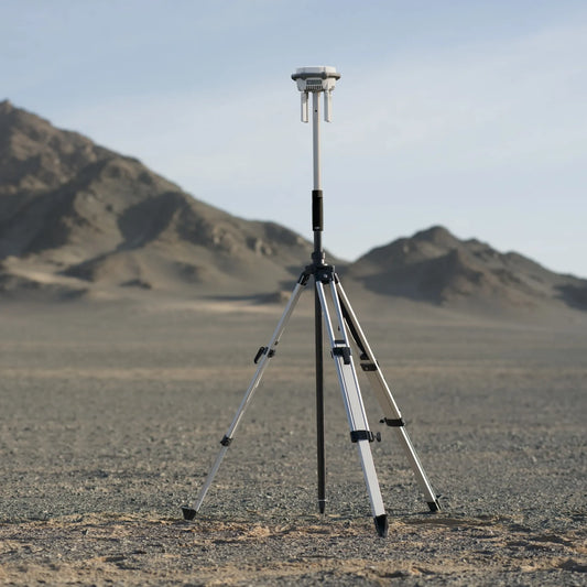
- Compatible with LiDAR payloads for terrain mapping and 3D modeling, offering unparalleled accuracy in surveying and infrastructure projects.
Multispectral Sensors
- Enables vegetation health monitoring and crop analysis for precision agriculture.
Essential Accessories for the Matrice 3D Series
TB60 Intelligent Flight Batteries
- Provides extended flight durations, ensuring operational efficiency during large-scale missions.
- Hot-swappable design minimizes downtime during battery replacements.
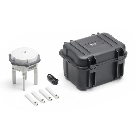
BS60 Intelligent Battery Station
- Charges multiple batteries simultaneously, offering a compact and portable solution for field operations.
CZI LP12 Spotlight and Loudspeaker
- Enhances nighttime operations and public communication with integrated lighting and sound capabilities.
Go Professional Cases
- Offers military-grade protection for drones and accessories during transport and storage.
Real-World Applications and Success Stories
- Wildlife Tracking: Conservation teams have used the Matrice 3TD to monitor wildlife populations and identify poaching hotspots, aiding in ecological preservation efforts.
- Disaster Relief: Emergency response teams deployed the Matrice 3D to assess flood-affected areas, providing real-time data for efficient resource allocation.
- Urban Planning: Surveyors utilized the drone's photogrammetry capabilities to create detailed 3D maps for city infrastructure development.
Experience the DJI Matrice 3D Series at DSLRPros
The DJI Matrice 3D Series delivers unmatched precision, reliability, and versatility, making it an essential tool for professionals across industries. Whether your mission involves detailed mapping, critical inspections, or dynamic surveillance, these drones are designed to exceed expectations.
Discover the future of professional aerial imaging with the DJI Matrice 3D and Matrice 3TD at DSLRPros. Contact our expert team today to explore your options and elevate your operational capabilities.

