
B-NB-M4E-CS3C
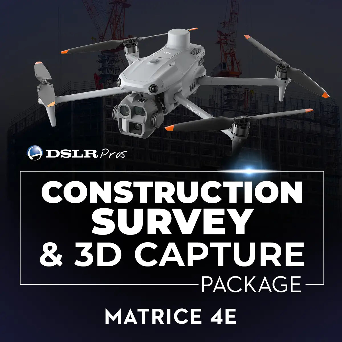
DSLRPros Matrice 4E Construction Survey & 3D Capture Package
Product Summary
The DSLRPros Matrice 4E Construction Survey & 3D Capture Package equips survey teams with the DJI Matrice 4E Universal Edition for orthomosaic mapping, volumetric measurement, and 3D site reconstruction, adding a D-RTK 3 Multifunctional Station for centimeter-level positioning accuracy. Two Matrice 4 Series batteries support up to 49 minutes of flight time per charge for covering large construction sites, while a 240W power adapter and WB37 controller batteries keep the RC Plus 2 Enterprise controller running through extended survey missions. Automated mapping flights via DJI Pilot 2 deliver the consistent imagery needed for stockpile volumes, digital elevation models, and progress documentation.
Key Features
In the Box
Vendor: DJI
MPN:
Fulfilled by: DSLRPros
Couldn't load pickup availability
Pickup currently unavailable at EUAS
All about the
DSLRPros Matrice 4E Construction Survey & 3D Capture Package
Product Details & Specifications
Description
DSLRPros Matrice 4E Construction Survey & 3D Capture Package: Drone Mapping System for High-Accuracy Site Modeling
Construction projects depend on accurate spatial data to track progress, verify earthwork quantities, and document site conditions.
The DSLRPros Matrice 4E Construction Survey & 3D Capture Package equips survey teams with a drone system designed to collect high-resolution aerial imagery for mapping, volumetric measurement, and 3D site reconstruction.
Built around the DJI Matrice 4E Universal Edition, this package combines photogrammetry-ready imaging, RTK positioning, and extended flight endurance.
The Matrice 4E enables operators to capture imagery for orthomosaic maps, digital elevation models, and detailed 3D reconstructions of construction sites.
An additional battery, RTK positioning hardware, and field charging equipment included in this bundle support longer survey missions and consistent data collection across large project areas.
Key Features and Benefits
- Photogrammetry imaging system: Matrice 4E captures high-resolution mapping imagery for surveys.
- Extended flight endurance: 2 total included batteries support large-area mapping missions.
- RTK positioning accuracy: D-RTK 3 enables centimeter-level survey positioning.
- Topographic mapping capability: Capture aerial imagery for terrain modeling workflows.
- Volumetric measurement support: Calculate stockpile volumes using aerial survey data.
- Construction progress documentation: Track site changes throughout project development phases.
- Reliable field operations: Controller batteries extend remote control runtime during missions.
- Efficient charging infrastructure: 240W power adapter supports rapid battery charging cycles.
- Integrated enterprise control: RC Plus 2 Enterprise enables professional drone flight management.
Designed for Professional Drone Survey Workflows
Survey teams require aircraft capable of collecting consistent imagery across large areas while maintaining accurate positional data. The Matrice 4E supports automated mapping missions through DJI Pilot 2, enabling operators to capture structured aerial imagery suitable for photogrammetry processing.
The included D-RTK 3 station provides centimeter-level positioning corrections that improve the spatial accuracy of mapping outputs. With up to 49 minutes of flight time per battery, operators can survey extensive construction sites while maintaining reliable data capture for mapping and modeling workflows.
Compatibility and System Integration
- DJI Matrice 4E aircraft: High-resolution imaging platform for aerial mapping missions.
- DJI D-RTK 3 station: Provides RTK corrections for precise aerial positioning.
- DJI Pilot 2 software: Enables automated mapping flights and mission planning.
- DJI RC Plus 2 Enterprise: Professional controller designed for enterprise drone operations.
- Matrice 4 Series batteries: Intelligent batteries provide extended flight endurance.
- DJI WB37 controller batteries: Power RC Plus 2 during extended survey missions.
- DJI charging ecosystem: Charging hub and power adapter support field charging workflow.
Applications and Use Cases
- Topographic site surveys: Capture aerial imagery for terrain and elevation modeling.
- Construction progress tracking: Document site changes during project development.
- Stockpile volumetric analysis: Measure aggregate and material volumes on site.
- 3D site reconstruction: Generate photogrammetric models for engineering review.
- Infrastructure planning surveys: Map project areas prior to construction activity.
- Site documentation missions: Produce aerial maps for reporting and planning.
The DSLRPros Matrice 4E Construction Survey & 3D Capture Package provides survey teams with a reliable drone system capable of collecting aerial imagery for mapping and modeling workflows. By combining photogrammetry imaging, RTK positioning, and extended flight endurance, this bundle supports efficient site documentation and accurate survey data collection.
DSLRPros supports professional drone survey programs with hardware guidance and operational expertise. This package can be customized depending on project requirements, mapping workflows, or additional equipment needs. DSLRPros Care Plus may also be available as an optional service.
Speak with a DSLRPros UAV specialist to configure the right survey solution and purchase the Matrice 4E Construction Survey & 3D Capture Package from DSLRPros.
Key Features
Specifications
What's in the Box?
DSLRPRosCare Extended Warranty
DSLRPROS DJI Care is our exclusive extended warranty program, designed to give you peace of mind and extra protection for your drone investment.
- Coverage Length: 13 months from the date your product ships
- What’s Covered: Accidental damage from pilot error, collisions, drops, water exposure, signal interference, and internal malfunctions
- What’s Not Covered: Intentional misuse, modifications, loss or theft, cosmetic wear, consumables (like propellers or batteries), or operation outside manufacturer guidelines
- Replacements: One replacement during the coverage term. Replacement may be new or refurbished. If unavailable, we’ll provide a product of similar capability.
- How to File a Claim: Notify support@dslrpros.com within 7 days of an incident. Ship the product using the label we provide.
- Eligibility: Policy must be purchased before your product ships from DSLRPROS. Coverage applies only to the original purchaser.
Simple, clear protection—so you can focus on flying, not worrying.
Frequently Asked Questions
More questions? Speak with an Expert.
What is the DSLRPros Matrice 4E Construction Survey & 3D Capture Package used for?
What camera sensor is used in the Matrice 4E for mapping missions?
Does the Matrice 4E support automated mapping functions?
What are the interval-shooting and mapping speeds for the Matrice 4E?
Does Matrice 4E have a mechanical shutter option and what advantage does it give?
What is the main difference between the Matrice 4E and Matrice 4T?
How does the Matrice 4E support drone mapping workflows?
Why is RTK positioning important for construction drone surveys?
How long can the Matrice 4E fly during mapping missions?
Can the DSLRPros Matrice 4E Construction Survey & 3D Capture Package be customized?
DSLRPros Verified Reviews
Verified DSLRPros Reviews & Ratings
Inquire about the DSLRPros Matrice 4E Construction Survey & 3D Capture Package
Our experts are here to help answer any questions you might have.
Thanks -- we got it.
Thanks! A drone specialist will be in touch within one business day.