

V-PXM-EDU-C
PIX4Dmapper
Product Summary
PIX4Dmapper gives surveyors, engineers, and mapping professionals full local control over photogrammetry processing, from manual GCP marking and checkpoint validation to tie-point editing in the RayCloud editor. It reconstructs RGB, multispectral, thermal, nadir, and oblique imagery into densified point clouds, textured meshes, DSM/DTM outputs, and GeoTIFF orthomosaics, with configurable coordinate systems and processing templates for demanding accuracy requirements. It remains the desktop solution of choice for teams that need verification and precision beyond simplified cloud workflows.
Key Features
In the Box
Vendor: Pix4D
MPN: 3030.08
Fulfilled by: DSLRPros
Couldn't load pickup availability
Pickup available at EUAS
Usually ready in 24 hoursAll about the
PIX4Dmapper
Product Details & Specifications
Description
PIX4Dmapper: Professional Desktop Photogrammetry With Full Workflow Control
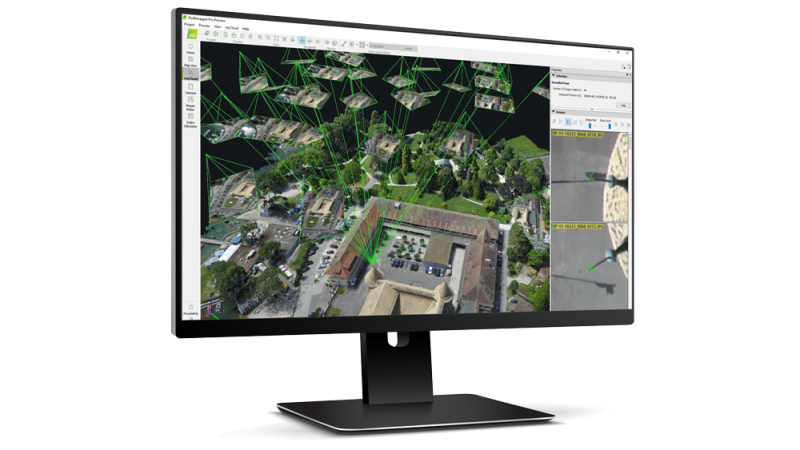
PIX4Dmapper is a desktop photogrammetry software designed to transform aerial and terrestrial imagery into survey-grade 2D maps and 3D models. It is used by surveyors, engineers, construction teams, and mapping professionals who require full control over image processing, accuracy settings, and coordinate systems.
Unlike simplified cloud workflows, PIX4Dmapper runs locally and provides detailed configuration tools, Ground Control Point (GCP) integration, and advanced editing capabilities. It supports RGB, multispectral, thermal, nadir, and oblique imagery for accurate reconstruction of terrain, infrastructure, and complex vertical structures.
Core Features And Advanced Processing Capabilities
- Full Photogrammetry Workflow: Complete control from alignment to orthomosaic generation.
- Ground Control Points: Manual GCP marking for survey-grade accuracy.
- Checkpoint Support: Independent accuracy validation within projects.
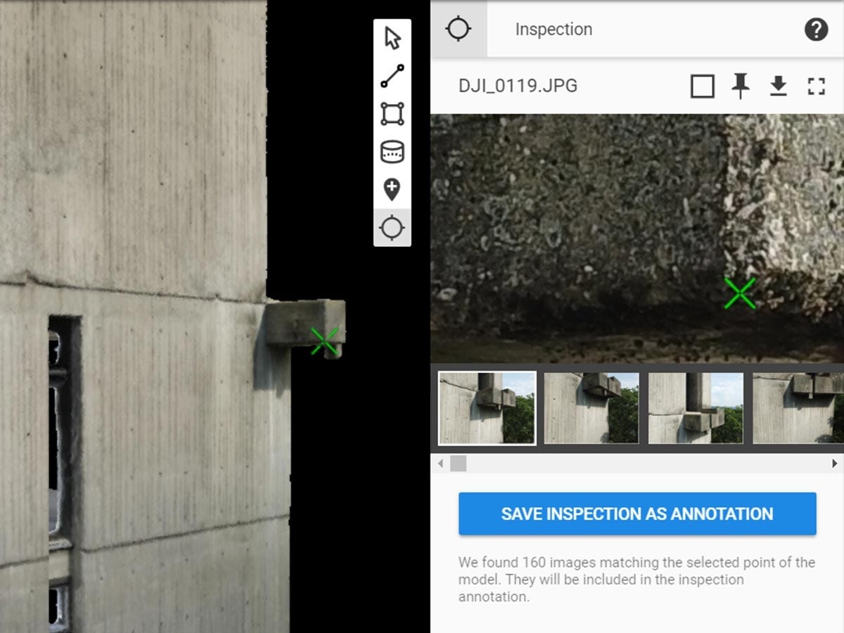
- RayCloud Editor: Inspect and edit tie points and reconstructions.
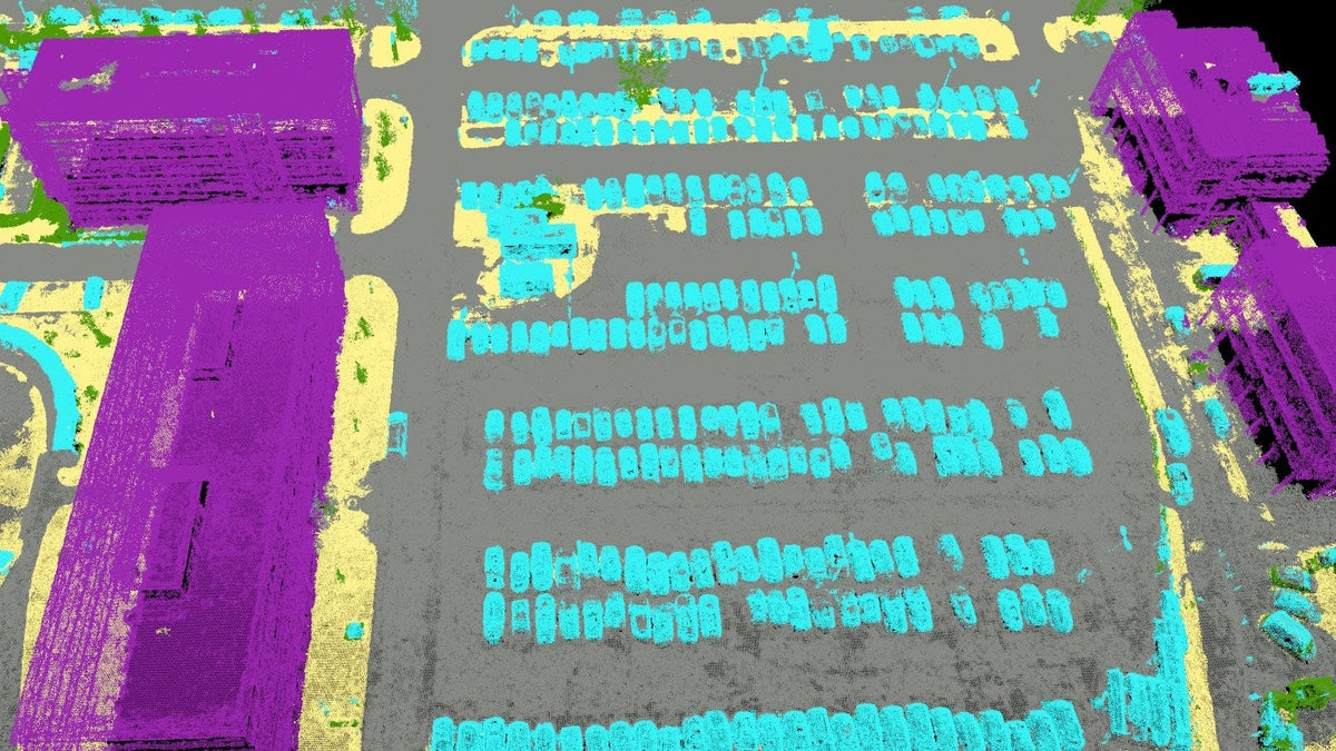
- Densified Point Cloud: Generate detailed 3D point clouds for analysis.
- 3D Textured Mesh: Create accurate textured surface models.
- DSM And DTM Outputs: Produce surface and terrain elevation models.
- Orthomosaic Generation: Export high-resolution GeoTIFF mapping outputs.
- Processing Templates: Customize workflows for specific project requirements.
- Coordinate System Control: Define independent input and output CRS settings.
PIX4Dmapper provides a controlled environment for high-accuracy mapping projects that demand customization and validation. From engineering surveys to infrastructure inspection and topographic modeling, it delivers detailed outputs with full transparency into processing parameters. For users who require editing, verification, and precision beyond automated cloud tools, it remains a comprehensive desktop solution.
At DSLRPros, we support complete UAV lifecycle solutions that extend beyond aircraft to data accuracy and workflow integrity. Purchasing PIX4Dmapper through DSLRPros ensures your photogrammetry processes align with professional UAS operations and long-term technical support. Contact DSLRPros to integrate PIX4Dmapper into your mapping program.
Key Features
Specifications
What's in the Box?
DSLRPRosCare Extended Warranty
DSLRPROS DJI Care is our exclusive extended warranty program, designed to give you peace of mind and extra protection for your drone investment.
- Coverage Length: 13 months from the date your product ships
- What’s Covered: Accidental damage from pilot error, collisions, drops, water exposure, signal interference, and internal malfunctions
- What’s Not Covered: Intentional misuse, modifications, loss or theft, cosmetic wear, consumables (like propellers or batteries), or operation outside manufacturer guidelines
- Replacements: One replacement during the coverage term. Replacement may be new or refurbished. If unavailable, we’ll provide a product of similar capability.
- How to File a Claim: Notify support@dslrpros.com within 7 days of an incident. Ship the product using the label we provide.
- Eligibility: Policy must be purchased before your product ships from DSLRPROS. Coverage applies only to the original purchaser.
Simple, clear protection—so you can focus on flying, not worrying.
Frequently Asked Questions
More questions? Speak with an Expert.
What is PIX4Dmapper used for in professional drone mapping?
Does PIX4Dmapper support Ground Control Points (GCPs)?
Can PIX4Dmapper process oblique and thermal imagery?
How does PIX4Dmapper differ from PIX4Dcloud?
Does PIX4Dmapper generate DSM and DTM outputs?
DSLRPros Verified Reviews
Verified DSLRPros Reviews & Ratings
Talk to a drone specialist
Tell us about your project. Our team will help you find the right drone solution.
Thanks -- we got it.
Thanks! A drone specialist will be in touch within one business day.