

V-PXR-P
PIX4Dreact
Product Summary
PIX4Dreact converts drone-captured RGB imagery into accurate 2D orthomosaics in minutes using a direct-to-orthomosaic workflow optimized for flat terrain, processing entirely offline on a field laptop. It's built for time-sensitive missions where situational awareness matters more than full 3D reconstruction, with support for thermal JPEG visualization, DSM output, and UTM/WGS84-referenced deliverables. Results can be shared directly to PIX4Dcloud once teams are back in a connected environment.
Key Features
In the Box
Vendor: Pix4D
MPN: 3030.43
Fulfilled by: DSLRPros
Couldn't load pickup availability
Pickup available at EUAS
Usually ready in 24 hoursAll about the
PIX4Dreact
Product Details & Specifications
Description
PIX4Dreact: Rapid 2D Drone Mapping For Time-Sensitive Field Operations
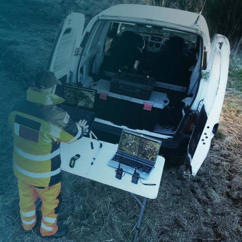
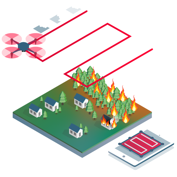
PIX4Dreact is a fast desktop mapping software built to convert drone-captured RGB images into accurate 2D orthomosaics within minutes. Designed for time-sensitive missions, it enables field teams to generate actionable maps without relying on internet connectivity.
Using a direct-to-orthomosaic photogrammetry workflow optimized for mostly flat terrain, PIX4Dreact processes imagery locally on a laptop, delivering reliable 2D mapping outputs significantly faster than traditional 3D reconstruction software. It supports rapid situational awareness when immediate geographic context is required on-site.
PIX4Dreact Core Features And Rapid 2D Mapping Workflow
- Rapid orthomosaic generation: produce accurate 2D maps in minutes.
- Offline processing capability: operate without active internet connection.
- Direct-to-orthomosaic workflow: optimized for flat aerial terrain.
- Local desktop engine: process imagery directly on-site.
- RGB image support: compatible with most common drone cameras.
- Thermal JPEG handling: visualize relative temperature differences only.
- DSM output: represent major ground surface shapes.
- UTM coordinate reference: outputs aligned to WGS84 datum.
- Share to PIX4Dcloud: upload orthomosaic and DSM layers.
PIX4Dreact reduces the delay between image capture and operational insight by focusing exclusively on fast 2D map generation. Its simplified processing pipeline eliminates unnecessary reconstruction steps, allowing teams to produce reliable orthomosaics while still in the field. It is purpose-built for missions where speed, clarity, and offline capability are operational priorities.
When you purchase PIX4Dreact from DSLRPros, you receive an authorized software license backed by an experienced UAS solutions provider. We help ensure you select the correct licensing structure and understand how it integrates within your broader drone workflow. Order PIX4Dreact directly from DSLRPros to equip your team with reliable rapid-mapping capability.
Key Features
Specifications
What's in the Box?
DSLRPRosCare Extended Warranty
DSLRPROS DJI Care is our exclusive extended warranty program, designed to give you peace of mind and extra protection for your drone investment.
- Coverage Length: 13 months from the date your product ships
- What’s Covered: Accidental damage from pilot error, collisions, drops, water exposure, signal interference, and internal malfunctions
- What’s Not Covered: Intentional misuse, modifications, loss or theft, cosmetic wear, consumables (like propellers or batteries), or operation outside manufacturer guidelines
- Replacements: One replacement during the coverage term. Replacement may be new or refurbished. If unavailable, we’ll provide a product of similar capability.
- How to File a Claim: Notify support@dslrpros.com within 7 days of an incident. Ship the product using the label we provide.
- Eligibility: Policy must be purchased before your product ships from DSLRPROS. Coverage applies only to the original purchaser.
Simple, clear protection—so you can focus on flying, not worrying.
Frequently Asked Questions
More questions? Speak with an Expert.
What is PIX4Dreact used for in drone mapping?
Does PIX4Dreact require an internet connection to operate?
Does PIX4Dreact support Ground Control Points (GCPs)?
Can PIX4Dreact process multispectral or oblique imagery?
Can PIX4Dreact outputs be shared online?
DSLRPros Verified Reviews
Verified DSLRPros Reviews & Ratings
Talk to a drone specialist
Tell us about your project. Our team will help you find the right drone solution.
Thanks -- we got it.
Thanks! A drone specialist will be in touch within one business day.