


Critical Drone Features That Save Lives in Search and Rescue
How Cutting-Edge UAV Technology is Transforming Life-Saving Missions
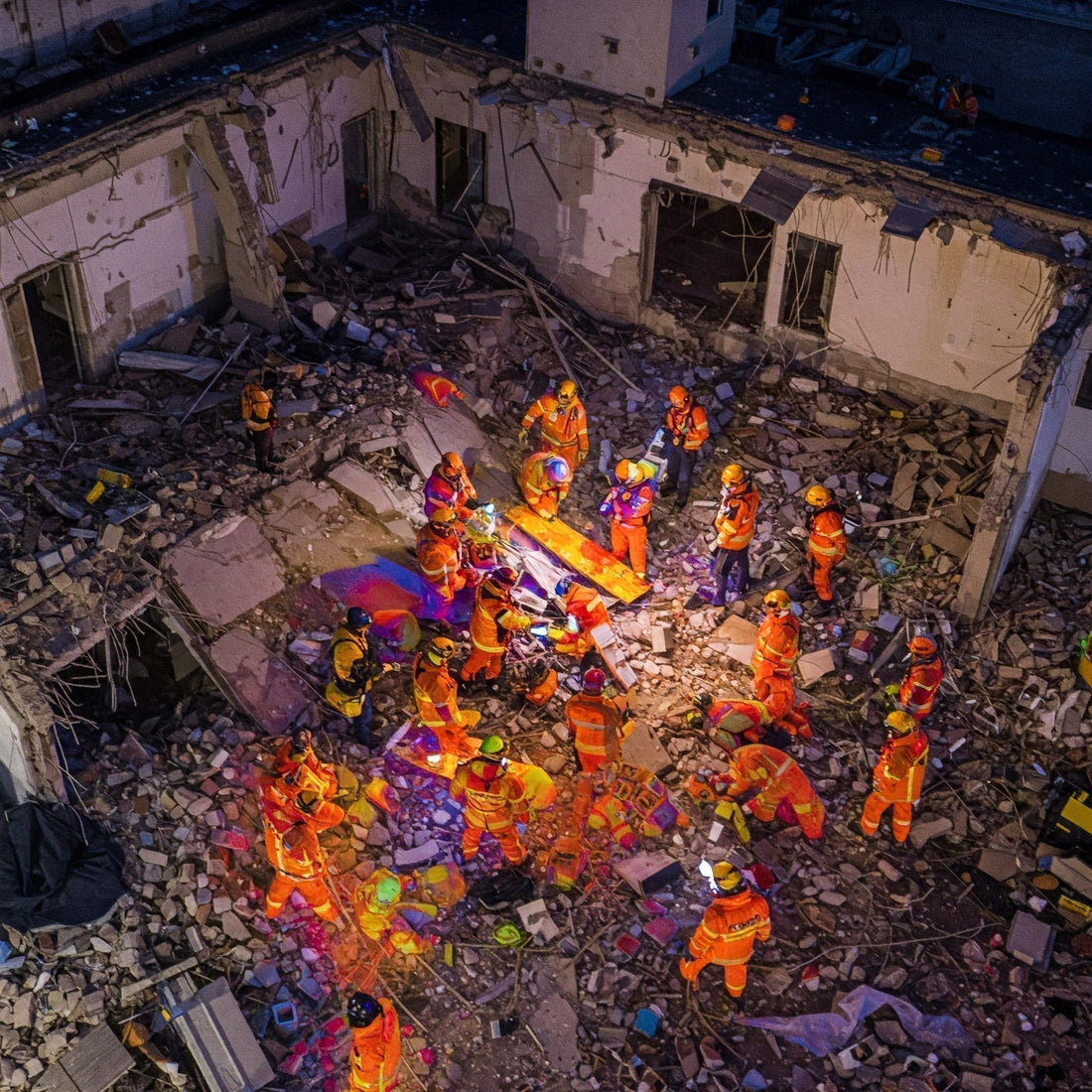
In search and rescue (SAR) operations, every second matters. Whether locating lost hikers in dense forests, scanning disaster zones for survivors, or delivering emergency supplies to remote areas, drones have become an indispensable tool for first responders. Their ability to cover vast terrain, navigate hazardous environments, and provide real-time aerial intelligence has redefined how rescue teams operate.
But not all search and rescue drones are built for the unpredictable and high-risk nature of SAR missions. The right UAV must offer thermal imaging for night searches, modular payloads for adaptability, long battery life for extended coverage, and AI-enhanced navigation for precision tracking. Choosing the best-equipped drone can mean the difference between a successful rescue and a lost opportunity.
This guide breaks down the must-have features for search and rescue drones—helping teams select the right UAVs to maximize efficiency, improve safety, and save more lives when every moment counts.
1. Extended Flight Time
Cover More Ground Without Interruption
Every second matters in a search and rescue mission. A drone with limited battery life can delay efforts, forcing teams to land, swap batteries, and relaunch—losing valuable time. Extended flight endurance allows teams to scan larger areas without interruption. The ability to sustain long flights is critical, especially in remote locations where recharging or replacing batteries is impractical.

What to Look for in a Reliable System:
- Long battery life: A minimum of 30 minutes is essential, but 45+ minutes is ideal. Some high-performance SAR drones can reach 55+ minutes with optimized power management systems.
- Modular battery system: Allows quick swaps to minimize downtime. Hot-swappable battery technology ensures the drone stays operational without requiring a full restart.
- Energy-efficient design: Lightweight construction and optimized aerodynamics extend flight duration. Carbon fiber or composite materials reduce weight while maintaining durability.
- Smart power management: Intelligent battery systems with real-time monitoring prevent unexpected shutdowns. Features like low-power return-to-home (RTH) ensure the drone safely lands before running out of charge.
- Hybrid power solutions: Some advanced SAR drones utilize hybrid gas-electric engines or solar-assisted charging to maximize endurance.
The longer a drone stays in the air, the more ground it can cover. This means fewer battery changes, reduced risk of losing a target, and improved efficiency in emergency situations. Extended flight time reduces reliance on multiple drones for a single mission, streamlining SAR operations and cutting operational costs. Drones with superior battery life and efficient energy management ensure uninterrupted surveillance, increasing the chances of a successful rescue.
2. High-Resolution & Thermal Imaging Cameras
Your Eyes in the Sky
Visibility is everything in search and rescue. A standard camera is not enough—rescue drones need powerful imaging capabilities to locate people in any condition. High-resolution optical zoom and thermal cameras make a significant difference in spotting individuals hidden by debris, vegetation, or darkness.

Technical Specifications to Evaluate:
- Optical zoom (20x or more): Enables SAR teams to search large areas while maintaining clear image quality for precise identification. Adjustable zoom ensures the ability to focus on distant subjects without sacrificing detail.
- Thermal imaging: Detects heat signatures in darkness, smoke, fog, or dense foliage, ensuring visibility in low-light conditions. This is essential for locating missing persons who may be unconscious or unable to call for help.
- Dual-sensor payload: A combination of RGB and infrared cameras allows real-time switching between standard and thermal views, giving SAR teams a comprehensive perspective.
- Stabilized gimbal system: Ensures smooth, shake-free footage even in turbulent conditions, improving target identification. High-quality stabilization is essential for capturing clear images in fast-moving or unstable environments.
- High-frame-rate recording: Captures fast-moving subjects with clarity, crucial for tracking victims in rapidly changing environments. Slow-motion playback capabilities allow teams to review footage for missed details.
- Live-streaming capabilities: Enables real-time data transmission to ground teams for faster decision-making. Integrated network connectivity ensures continuous video feeds, allowing instant communication and coordination.
- AI-enhanced object recognition: Advanced software can automatically identify humans, animals, and other objects, reducing the likelihood of false positives and streamlining SAR operations.
Thermal cameras can spot a lost hiker under a dense forest canopy or a missing person trapped in a collapsed structure. Optical zoom helps teams search from a safe distance, keeping human rescuers out of danger zones. A well-equipped imaging system ensures no detail is overlooked.
3. Advanced Obstacle Avoidance
Navigating Complex Environments
SAR operations often occur in hazardous, unpredictable environments like collapsed buildings, dense forests, and mountainous terrain, where visibility is low, and obstacles are abundant. A drone without advanced obstacle avoidance risks collisions that could delay missions or damage critical equipment. With real-time object detection, LiDAR sensors, and AI-powered navigation, modern UAVs autonomously maneuver through complex terrain, ensuring safe, efficient flights that keep rescue teams focused on locating victims and delivering aid.

Essential Functions to Consider:
- 360-degree collision detection: LiDAR, radar, and optical sensors help drones avoid hazards from all directions. Multi-directional sensors allow the drone to detect and navigate around obstacles, even in dense or confined spaces.
- AI-powered navigation: Uses machine learning algorithms to adjust flight paths in real time, optimizing route efficiency. AI-driven obstacle prediction helps drones anticipate and react to environmental changes before they become a threat.
- Terrain-following sensors: Automatically adjust altitude when flying over uneven landscapes, reducing crash risk. These sensors ensure consistent height above ground level, essential for navigating mountains, valleys, and unstable terrain.
- Low-light and infrared detection: Ensures obstacle detection works even in pitch-dark environments. This feature is critical for night-time operations, underground rescues, and smoke-filled areas where visibility is limited.
- Return-to-home (RTH) fail-safe: Automatically re-routes the drone safely back to base if signal loss or low battery occurs. Emergency return functions ensure the drone doesn’t become stranded mid-mission.
- Autonomous path planning: The drone intelligently selects the safest and most efficient route to a target location while avoiding restricted airspace and no-fly zones.
- Multi-sensor fusion: Integrates data from multiple sensors to create a more reliable navigation system. This combination enhances the drone's ability to operate in dynamic and unpredictable conditions.
Obstacle avoidance is critical for keeping drones operational in high-risk environments, where every second counts. A collision with a tree, power line, or building isn’t just a technical failure—it can mean mission delays, lost resources, and compromised safety for those in need. Equipped with LiDAR, infrared, and AI-powered sensors, modern UAVs detect and navigate around obstacles in real time, ensuring uninterrupted flight paths and precise maneuvering even in smoke-filled, debris-heavy, or low-visibility conditions.
4. Weather Resistance
Operating in Harsh Conditions
Unpredictable weather is a constant challenge in search and rescue operations, where delays can cost lives. Heavy rain, snow, and strong winds can ground standard drones, cutting off critical aerial support when responders need it most. Rugged, all-weather UAVs with IP-rated waterproofing, wind resistance, and anti-icing technology ensure missions continue uninterrupted, providing real-time aerial intelligence in even the harshest conditions.

Technical Aspects to Review:
- Water-resistant build (IP-rated): Protection against rain, snow, and high humidity environments. An IP54 rating or higher ensures the drone continues to function despite moisture exposure.
- Wind resistance: Stable flight in gusts up to 40 mph, ensuring usability in extreme conditions. Advanced stabilization systems prevent drift and loss of control in high winds.
- Temperature tolerance: Operates effectively in extreme heat (over 100°F) and freezing temperatures (below -20°F). Battery heaters and insulation protect essential components from malfunctioning in harsh climates.
- Dust and debris protection: Sealed components prevent interference from sand, ash, or smoke, crucial for wildland firefighting and desert search missions.
- Ice-resistant propellers: Heated or specialized coatings reduce ice buildup in freezing conditions, ensuring uninterrupted operation in snow-covered landscapes.
- Self-heating batteries: Prevents battery failure in sub-zero conditions, allowing drones to function in extreme cold.
- UV and corrosion resistance: Drones built with UV-resistant coatings and corrosion-proof materials can withstand prolonged sun exposure and operate in maritime environments.
Rescue missions don’t pause for bad weather, and neither should your drone. In extreme conditions where human responders face limitations, rugged, weather-resistant UAVs keep search efforts moving. Designed to withstand heavy rain, strong winds, and freezing temperatures, these drones provide uninterrupted aerial support, ensuring no time is lost when lives are on the line.
5. GPS & RTK Precision
Pinpointing Locations with Accuracy
Locating a missing person requires more than just a general search area—it demands precision. While GPS provides an approximate location, RTK (Real-Time Kinematic) positioning enhances accuracy down to centimeters. This advanced technology enables drones to pinpoint exact coordinates, ensuring rescue teams can navigate directly to those in need with minimal time lost.

Core Capabilities to Assess:
- High-precision GPS: Provides accurate positional data, reducing search area uncertainty. Standard GPS accuracy ranges between 3-10 meters, but high-precision GPS narrows this down significantly.
- RTK technology: Enhances GPS accuracy down to centimeter-level precision, ensuring pinpoint accuracy. This feature is crucial for missions where precision is non-negotiable, such as in dense forests or rugged terrains.
- Live telemetry tracking: Shares real-time location data with SAR teams, improving coordination. A continuous live feed ensures that responders receive updated positional information instantly.
- Geofencing capabilities: Prevents drones from flying into restricted areas while maintaining search efficiency. Automated alerts prevent UAVs from entering unauthorized zones while keeping them within mission boundaries.
- Cloud integration: Allows remote access to flight paths and data logs, ensuring streamlined mission planning. SAR teams can review previous search patterns, plan efficient routes, and collaborate on rescue strategies using cloud-based storage.
- Multi-band GNSS support: Incorporates GPS, GLONASS, Galileo, and BeiDou satellite systems for improved global coverage and reliability.
- Inertial navigation systems (INS): Ensures precise tracking in areas with weak GPS signals, such as deep canyons, tunnels, or urban environments.
Precision is everything in search and rescue. Accurate location data removes uncertainty, ensuring responders reach victims faster and deploy resources where they’re needed most. With advanced positioning technology, SAR teams minimize delays, improve success rates, and operate with maximum efficiency, increasing the chances of saving lives.
6. Payload Capacity
Expanding Mission Capabilities
Drones are more than airborne cameras—they're lifelines in critical situations. Equipped with payload capabilities, UAVs can carry and deploy essential tools like medical kits, flotation devices, or two-way radios, transforming them into indispensable assets for search and rescue teams. This functionality ensures responders can deliver aid faster and more effectively, even in the most challenging conditions.

Specifications That Matter:
- Modular payload options: Allows for the attachment of medical kits, two-way communication devices, searchlights, and sensors. Modular configurations ensure drones can be quickly adapted for different missions.
- Loudspeakers: Enable real-time communication with stranded individuals, providing reassurance and instructions. This feature is critical when victims are in inaccessible areas and require immediate verbal guidance.
- Supply drop mechanisms: Deliver survival gear, water, or first-aid supplies with precision. Drones with automated release systems ensure supplies reach victims accurately, even in challenging environments.
- Tethered flight options: Enables continuous aerial monitoring without battery limitations. A tethered drone system provides unlimited flight duration, making it ideal for extended search operations or establishing a communication relay.
- Multi-payload support: Allows the drone to carry multiple rescue tools simultaneously, such as thermal cameras, additional batteries, or rope deployment systems. This maximizes efficiency by reducing the need for multiple flights.
- Gas or hybrid-powered payload capacity: Drones with gas or hybrid engines can carry heavier payloads for longer durations, enabling the transport of specialized SAR tools.
- Autonomous deployment systems: Some advanced drones can autonomously deploy life vests, emergency beacons, or inflatable rafts in water-based rescues.
When every second counts, a drone carrying emergency equipment can mean the difference between survival and tragedy. UAVs equipped with medical kits, rescue ropes, or communication devices bridge the gap between distress and rescue, delivering life-saving aid to victims before ground teams arrive. This rapid response capability ensures critical assistance reaches those in need—when and where it matters most.
7. Laser Rangefinder
Pinpointing Locations from a Distance
Finding a lost person is one challenge—relaying their exact coordinates to ground teams is another. A drone with a laser rangefinder ensures precise location tracking for fast response times. In dense forests, mountainous terrain, or vast open landscapes, direct visual markers may not be effective, making laser-assisted measurements critical for pinpointing positions with precision.
Core Elements to Consider:
- Range up to 1 mile: Accurately measures distances over long ranges, ensuring rescuers receive precise victim location data even in expansive search zones.
- Coordinate relay system: Sends pinpointed locations to responders in real time, reducing miscommunication and search inefficiencies.
- Integration with GPS mapping: Ensures teams get exact positioning data, enhancing situational awareness and allowing ground crews to navigate directly to the identified location.
- Target-locking capability: Enables drones to maintain focus on a specific target, preventing loss of position tracking due to environmental obstructions or movement.
- Nighttime and low-visibility operation: Works effectively in darkness, fog, or smoke, ensuring SAR teams can locate victims in adverse conditions.
- Real-time data synchronization: Instantly integrates with mission control centers, providing command teams with updated positional information for coordinated rescue efforts.
A lost hiker spotted from the air means nothing if rescuers can’t reach them. A laser rangefinder ensures every sighting leads to a successful rescue by delivering pinpoint accuracy. Instead of relying on estimations or visual markers that can shift over time, SAR teams can obtain exact coordinates and direct response teams with confidence. In life-or-death situations where seconds count, precise location data means faster rescues, reduced search time, and a higher chance of survival for those in need.
The Role of Drones in Critical Rescue Missions
In emergency scenarios, every second counts. The faster first responders can locate victims or assess hazards, the higher the chances of survival. Drones have redefined search-and-rescue operations, providing real-time aerial intelligence, expanding search coverage, and reducing risk to personnel.
Key advantages of UAVs in critical rescue missions include:
- Faster Response Times – UAVs deploy within minutes, reaching disaster zones before ground teams, assessing conditions, and relaying critical data to command centers.
- Expanded Search Coverage – Unlike ground crews limited by terrain and obstacles, drones scan vast areas from above, identifying survivors or hazards in record time.
- Enhanced Precision & Threat Detection – Equipped with thermal imaging, LiDAR, and AI analytics, drones detect heat signatures, structural weaknesses, and chemical threats invisible to the human eye.
- Reduced Risk to First Responders – UAVs navigate unstable environments, hazardous sites, and disaster zones, preventing unnecessary exposure for firefighters and rescue teams.
The right UAV technology transforms emergency response. By leveraging cutting-edge drones, agencies improve efficiency, accelerate decision-making, and, most importantly, save more lives.
Equip Your Search-and-Rescue Team with the Right Drone Technology
When lives are on the line, every second counts. The right drone features—thermal imaging, modular payloads, AI-powered navigation, and GPS precision—can make the difference between a successful rescue and a missed opportunity.
Drones are no longer just an advantage; they are a necessity for modern search-and-rescue operations. Whether navigating treacherous terrain, locating victims in low visibility, or providing real-time intelligence to command teams, UAVs give responders the critical edge they need.
Don’t leave your team unprepared. Explore DSLRPros’ lineup of high-performance search-and-rescue drones designed for extreme conditions and high-stakes missions. Contact our experts today to find the right UAV solution for your critical missions. Because in an emergency, every second counts—and the right drone can be the key to saving lives.
