Speak With An Experienced Drone Expert
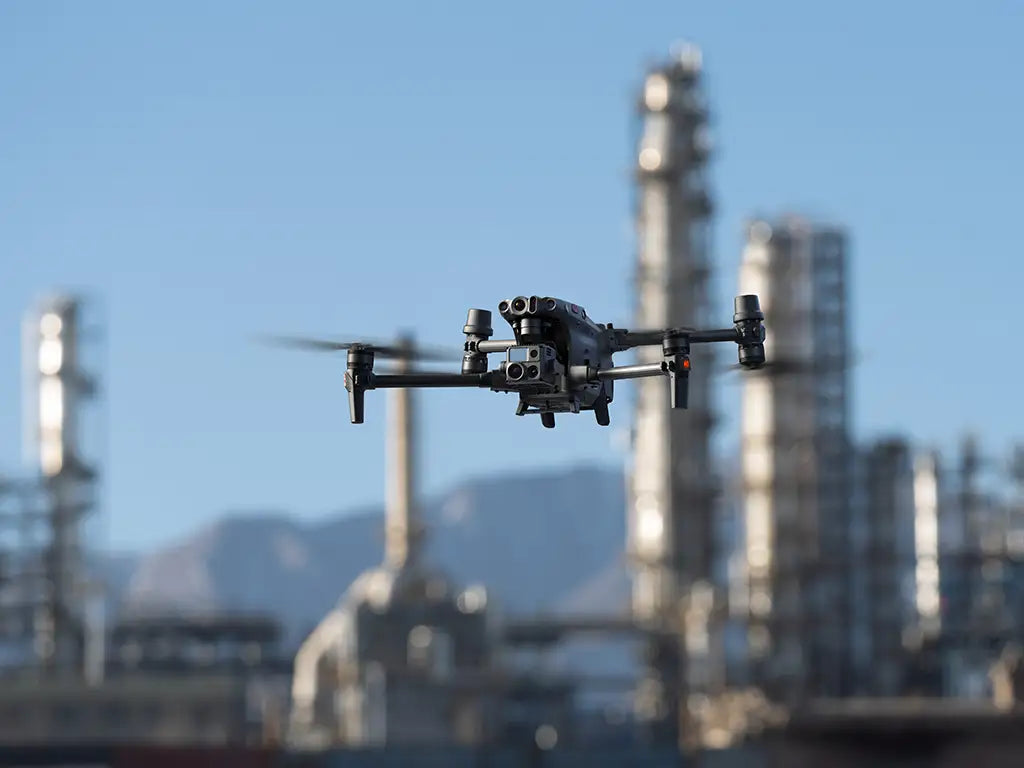
Revolutionize your workflows with the latest thermal drone technology from DSLRPros! We offer a wide range of advanced drones designed to help you work smarter, not harder. From the Matrice 350 RTK, EVO II 640T, and Mavic 3 Thermal to Teledyne FLIR SIRAS, our packages are tailored to enhance your operations. Equipped with high-resolution thermal cameras and sensors, these drones are perfect for applications requiring precise thermal imaging and efficient data collection. Explore our collection and find the perfect thermal drone for your needs.

Top Thermal Drone Lineup

What are thermal drones?

These are unmanned aerial vehicles (UAVs) fitted with a thermal camera or sensors, designed especially to pick up infrared radiation emitted by various objects. They relay real-time images or videos, showing the temperature distribution of the objects or terrain they fly over.

Here’s the principle behind it: Objects emit infrared radiation based on their temperature, with warmer things giving off more than cooler ones. A thermal camera drone captures these emissions, painting a vivid picture of the temperature landscape below.

Their applications range from drone inspections that can detect heat losses in buildings, to search and rescue missions that can find lost individuals even in complete darkness. Not to forget the immense benefits to drone agriculture, enabling farmers to assess crop and animal health, as well as irrigation needs with ease.

Check out our detailed post Beyond Visuals: Unlocking The Power Of Thermal Imaging With Your Drone for a deeper dive into how this technology works – and how you can explore the unseen world from the skies!

Top Thermal Drones

When you're in the market for a top-notch thermal drone, there are a few key aspects to consider. Thermal imaging quality is paramount. It's the heart of any thermal camera, enabling tasks from drone inspection to drone agriculture. Infrared resolution and frame rate, for example, will determine the clarity and smoothness of what you capture.

Other factors to consider include: The range of temperatures the drone can detect, zoom capabilities, geo-referencing that ties thermal images to be tied to specific geographic locations – particularly useful for mapping and monitoring specific areas. Also look into the battery life, specifically how long a the drone can last on a single charge, weather resistance, safety features like obstacle avoidance, and integrated software solutions.

Our DSLRPros thermal drone lineup is packed with heavyweights.

Take the DJI Mavic 3 Thermal for instance. Not only can it stay airborne for an impressive 45 minutes, but its infrared resolution of 640 x 512 pixels ensures quality thermal imaging. You'd be amazed at how handy this can be, especially during drone search and rescue operations. That 9.3-mile max transmission? It gives you quite the reach!

Now, if waterproofing and extended flight time pique your interest, the DJI Matrice 350 RTK is your go-to. With a waterproof rating of IP55 and a 55-minute flight time, it stands out as a formidable choice for challenging terrains, complete with a 30° FOV (±15°) infrared sensing system.

For those prioritizing impeccable visual quality alongside thermal imaging, the Autel EVO II V3 640T boasts an 8K video visual sensor. Add to that its infrared resolution of 640x512@25fps, and you're in for a treat. Imagine the clarity when used in drone agriculture scenarios, examining crops and soil health.

For an unparalleled combination of flight agility and imaging, the Teledyne FLIR SIRAS is hard to beat. Its infrared resolution stands at 640 x 512 and showcases a whopping 60Hz in infrared framerates. Whether it's for fast-paced drone search and rescue or intricate inspections, this drone is built to impress.

Explore there and more top thermal drones and their features here:

  • DJI Matrice 4T

    NEW DRONE ALERT

    Max Flight Time: 49 mins
    Max Transmission Distance: 15.5 mi
    Max Speed: 47 mph
    Max Wind Resistance: 39.4 ft/s

    Wide Camera Sensor: 1/1.3-inch CMOS, 48 MP
    Medium Tele Camera Sensor: 1/1.3-inch CMOS, 48 MP
    Tele Camera Sensor: 1/1.5-inch CMOS, 48 MP
    Infrared Resolution: 640 x 512 pixels
    Infrared Framerate: 30 Hz
    Thermal Imager: Uncooled vanadium oxide (VOx)
    Infrared Wavelength: 8um to 14um
    Water Proof Rating: Not rated

    Request Info/Quote 
  • DJI Mavic 3T

    BESTSELLING DRONE

    Max Flight Time: 45 mins
    Max Transmission Distance: 9.3 mi
    Max Speed: 47 mph
    Max Wind Resistance: 39 ft/s

    Visual Sensor Size: 1/2-inch CMOS, 4K
    Infrared Resolution: 640 x 512 Pixels
    Infrared Framerate: 30Hz
    Thermal Imager: Uncooled VOx Microbolometer
    Infrared Wavelength: 8um to 14um
    Water Proof Rating: Not rated

    Request Info/Quote 
  • DJI Matrice 30T

    Max Flight Time: 41 mins
    Max Transmission Distance: 5 mi
    Max Speed: 51.4 mph
    Max Wind Resistance: 39.4 ft/s

    Waterproof Rating: IP55
    Zoom Camera Sensor: 1/2-inch CMOS, 48 MP
    Wide Camera Sensor: 1/2-inch CMOS, 12 MP
    FPV Camera: 1920 × 1080 pixels at 30 fps
    Thermal Imager: Uncooled VOx Microbolometer

    Request Info/Quote 
  • Autel EVO Max 4T

    Max Flight Time: 42 mins
    Max Transmission Distance: 12.4 mi
    Max Speed: 51.4 mph
    Max Wind Resistance: 39.6 ft/s

    Waterproof Rating: IP43
    Visual Sensor Size: 1/1.28-inch CMOS, 50 MP
    Thermal Camera Resolution: 640 x 512 pixels
    Thermal Camera Lens: 13mm; Focus: f/1.2
    Thermal Imager: Uncooled VOx Microbolometer

    Request Info/Quote 
  • DJI Matrice 350 RTK

    Max Flight Time: 55 mins
    Max Transmission Distance: 12.4 mi
    Max Speed: 51.4 mph
    Max Wind Resistance: 39.4 ft/s

    Waterproof Rating: IP55
    Visual Sensor Size: 1080p
    FPV Camera FOV: 142°
    Frame Rate: 30fps
    Infrared Sensing System FOV: 30° (±15°)

    Request Info/Quote 
  • Teledyne FLIR SIRAS

    Max Flight Time: 31 mins
    Max Transmission Distance: 6 mi
    Max Speed: 40 mph
    Max Wind Resistance: 32.2 ft/s

    Waterproof Rating: IP54
    EO Camera Resolution: 16 MP with 20 MP mapping mode, 2 MP at 32x zoom
    Infrared Resolution: 640 x 512 pixels, radiometric (spot meter, isotherms, ROI)
    Infrared Framerates: 60 Hz
    XT2 Infrared Lens Options: 9, 13, 19, 25mm

    Request Info/Quote 
  • Autel EVO II V3 640T

    Max Flight Time: 40 mins
    Max Transmission Distance: 9.3 mi
    Max Speed: 44.7 mph
    Max Wind Resistance: 57.2 ft/s

    Water Proof Rating: Not rated
    Visual Sensor Size: 1/1.28-inch (0.8-inch) CMOS - 8K Video
    Infrared Resolution: 640 x 512 pixels at 25 fps
    Infrared Framerate: 30Hz
    Infrared FOV: H33°V26°
    Camera Zoom: 1 - 16x zoom

    Request Info/Quote 
  • Parrot ANAFI USA

    Max Flight Time: 32 mins
    Max Transmission Distance: 3.1 mi
    Max Speed: 33.6 mph
    Max Wind Resistance: 49.2 ft/s

    Waterproof Rating: IP53
    EO Image Chain: 21 MP 1/2.4-inch CMOS
    Visual Camera Zoom: 32x digital zoom
    Infrared Image Resolution: 320 x 256 pixels
    Infrared Framerate: 9 fps (15 fps for ANAFI USA MIL)

    Request Info/Quote 

Best Thermal Drone Cameras

DSLRPros offers a wide selection of DJI and FLIR thermal optics. To get featured at the top, we look at the resolution of the camera since clearer images enable better analysis, range of temperatures the camera can detect, thermal sensitivity – the smallest temperature difference the camera can discern, all through to frame rates, image overlays, calibration, connecvity and software compatibility.

The DJI Zenmuse H20T combines a 23x optical zoom camera, a 640x512 radiometric thermal sensor, and a laser range finder in a single stabilized payload. The H20T also comes with new camera modes making it easy to collect data efficiently. These include AI spot check, high res grid photo, pinpoint, smart track, and spot meter. 

The FLIR Vue TZ20-R comes with the unique ability to offer a thermal zoom effect with the combination of two separate thermal lenses and radiometric sensors to provide 1x, 5x, 10x and 20x zoom capabilities. 

The Zenmuse XT2 R is a great choice as it has dual visible and thermal imaging capabilities and smart features such as a temp alarm, heat track, and FLIR MSX technology. New to the world of infrared imaging drones? Check out the DSLPros' Aerial Thermal Imaging Fundamentals for Public Safety Webinar here.

Here is a breakdown of what to expect from the leading thermal cameras for drones.

  • DJI Zenmuse XT2

    Infrared Resolution: 640 × 512
    or 336 × 256 pixels

    Infrared Frame Rates: 9 or 30Hz

    Sensor: 1/1.7-inch CMOS

    Digital Zoom: 1x, 2x, 4x, 8x (Live View Only)

    FLIR Tau 2 Sensor for Thermal Imaging

    Gimbal Stabilization: Built In

    Weather Resistance: IP44

    Scene Temp Range: -40 to 1022° F

    Compatible with: DJI Matrice 200 and Matrice 600 series

    Request Info/Quote 
  • DJI Zenmuse H20N

    Infrared Resolution: 640 x 512 Pixels

    Infrared Frame Rate: 30Hz

    Infrared Lens: 12 mm

    Includes wide & zoom Thermal Cameras

    Single Infrared Sensor

    Gimbal: Built in

    Weather Resistance: IP44

    Operating Temp Range: -4 to 122°F

    Compatible with: Matrice 300 RTK

    Request Info/Quote 
  • DJI Zenmuse H20T

    Infrared Resolution: 640 x 512 Pixels

    Infrared Frame Rate: 30Hz

    Infrared Lens: 13.5 mm

    Includes wide & zoom RGB Cameras

    Single Infrared Sensor

    Gimbal: Built in

    Weather Resistance: IP44

    Operating Temp Range: -4 to 122°F

    Compatible with: Matrice 300 RTK

    Request Info/Quote 
  • Teledyne FLIR Vue TZ20-R

    Infrared Resolution: 640 x 512 pixels

    Infrared Frame Rate: 30Hz

    Infrared Lenses: 4.9 mm wide, 24 mm tight

    IR Camera Resolution: 2 FLIR Boson 640 × 512 pixels

    Streaming Video: 640 × 512 pixels at 25Hz

    Weather Resistance: IP44

    Operating Temp Range: -4° to 113°F

    Compatible with: Matrice 200 and 300 Series

    Request Info/Quote 
  • Autel EVO Max 4T Gimbal Camera

    Infrared Resolution: 640 x 512 pixels

    Infrared Lenses: 13 mm wide, 16x digital zoom

    4-in-1 imaging system: Two RGB cameras, a thermal camera, and a laser rangefinder

    Still photos: 8K resolution, f/2.8 to f/4.8 aperture

    Video: 4K video, 85° FOV

    Operating Temp Range: -4° to 140°F

    Request Info/Quote 
  • Deepthink S3

    Full-color night vision for DJI M300/M350 RTK

    30X optical zoom, 160X integrated zoom, 4 MP camera

    0.0001 Lux full-color HD imaging

    Laser rangefinder: 5-1500 meters, ±1m accuracy

    Infrared Resolution: 640 x 512 pixels, 45.76° DFOV

    Operating Temp Range: -20°C to 150°C, 0°C to 550°C

    Additional Features: Low wind resistance, high-density aluminum shell

    Request Info/Quote 
  • Residential Roof Inspection

    • Determine where roofs are losing heat or pooling water
    • Conduct thermal insulation audits for energy efficiency
    • Diagnose faulty electrical circuits within walls that are creating thermal hotspots
    • Safely and efficiently gain insights from the air
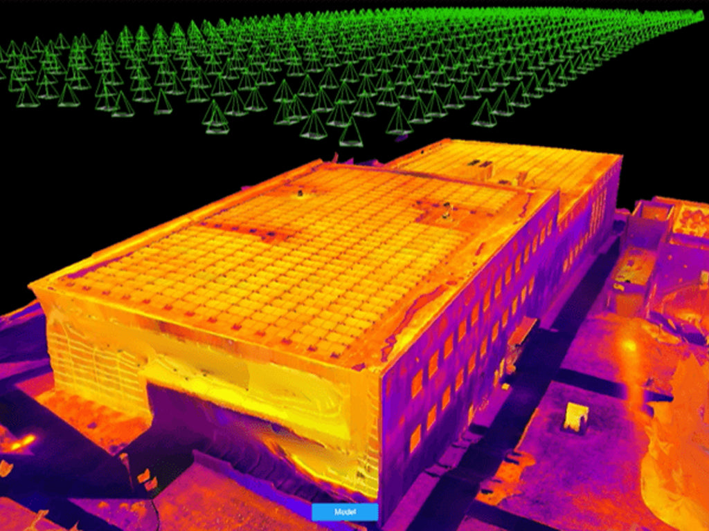
  • Commercial Building Inspection

    • Inspect HVAC and refrigeration equipment for insulation leaks
    • Heat flow can be mapped and thermal bridging prevented by improving insulation
    • Inspection of plumbing facilities for evidence of moisture intrusion
    • Inspect concrete structures for delamination and spalling defects
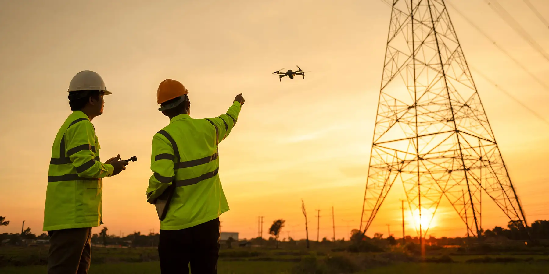
  • Utilities Inspection

    • Prevent power transmission line failures by identifying hot spots
    • Assess the condition of a solar array in minutes and identify any failing cells
    • Wind turbine gearbox brake failure can be detected by thermal rise signatures
    • Identify electrical power lines with short circuits and broken conductors
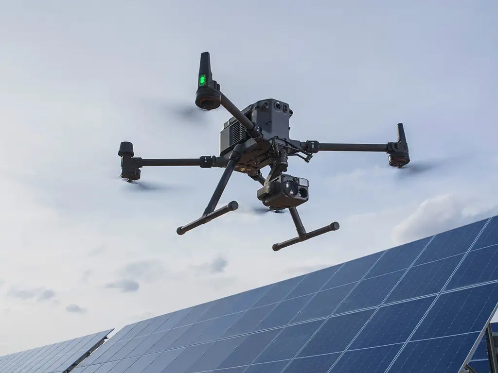
  • Industrial Inspection

    • Locate and isolate buried pipeline leaks
    • Locate blockages in above-ground fluid transmission systems
    • Measure the temperature of boiler tubes and detect thermal patterns
    • Inspect storage tanks for leaks
  • Wildlife Management

    • Tracking and mitigation of feral and invasive hogs
    • Monitoring and counting livestock
    • Use as a recreational tool (adds an additional layer of sight to thermal scopes)
    • Thermal imaging cameras offer quick reconnaissance
  • Fire Fighting and Rescue

    • Thermal cameras can be used to see through smoke to tackle fires
    • Identify smoldering hot spots in walls
    • Easily deploy a 360° thermal observation platform
    • From the air, get critical perspective you cannot get with traditional assets
  • Law Enforcement and Police

    • Continuity of on-station capability for hostage and active shooter situations
    • Overwatch support using a flying remote camera
    • Remotely drop supplies to hostages or open communication lines
    • Document the scene of a traffic accident or crime for reconstruction later
  • Search and Rescue

    • Live, high-resolution video streams for rapid victim or lost person searches
    • Providing rugged post-disaster support without cellular data
    • Aerial lighting on-scene for day and night missions
    • Payload delivery at low altitudes or rescue line deployment
1 of 8
  • Thermal Imaging Capability

    Thermal cameras on these drones detect infrared radiation, allowing users to visualize temperature variations and heat signatures in the environment.

  • Enhanced Vision

    Thermal drones enable users to see in low-light conditions and through obscurants like smoke, fog, and dust, making them ideal for nighttime operations and challenging environments.

  • Improved Safety & Efficiency

    Thermal drones can be used for remote inspections, reducing the need for manual inspections in hazardous or hard-to-reach areas. This enhances safety and saves time, resources, and labor costs.

  • Real-time Data Collection

    Thermal drones provide real-time visualizations of thermal data, enabling immediate analysis and decision-making.

  • Integration with Mapping and GIS

    Thermal drone data can be integrated with mapping and GIS technologies, providing valuable geospatial information for analysis and planning.

  • Flexibility and Mobility

    Thermal drones are typically compact, portable, and easy to deploy, making them highly flexible for various applications.

1 of 6

Transforming public safety operations

Drone technology has become a powerful tool in public safety. Unmanned aircraft systems (UAS) are being used to help save lives in response to many situations, including search and rescue missions, law enforcement crime scenes and emergency response to natural disasters like fires or other dangerous scenarios. One of the most impactful developments in drones for this purpose is the adoption of thermal imaging sensors.

UAS with thermal cameras can be used during nighttime conditions when temperatures are low enough to make infrared radiation detectable by the drone's sensor.  They can also be used in situations where it is too dangerous for personnel to be present. Thermal imaging drones can see through smoke, making them incredibly useful when looking for people who may have been trapped or lost in a fire situation, including wildfires and other disasters. They can also help identify hazardous materials leaks at chemical plants or gas stations by getting a clear picture of the scene.

Thermal imaging drones are being used to help save lives in search and rescue operations by locating missing people or stranded hikers, hunters, skiers or other victims lost outdoors.  The drones can fly overhead during day or night conducting a thorough search for heat signals indicating possible survivors using an infrared camera.

Public safety agencies with drone programs are saving lives and property - and drones equipped with thermal cameras are a big reason for that.

Unlocking efficiency and sustainability in agriculture

The benefits of drones in agriculture have been well documented, but beyond monitoring crop and plant health, drones can also keep track of livestock with thermal cameras.  In flight, a drone with thermal imaging capabilities is a powerful tool for monitoring many different types of wildlife.  Thermal cameras can detect the heat signature from an animal at a distance, providing drone pilots with data they otherwise wouldn't be able to gather.

Sheep and cattle spend extended periods of time out in large fields and pastures.  Monitoring the location of herds and flocks consumes a lot of time and resources. 

Tracking and monitoring livestock with UAVs allows for a wide range of management activities, including pasture utilization, assessing and responding to livestock behavior, and planning grazing distribution.

Monitoring the animals' health is another benefit of this technology.  Drones can spot certain health maladies, which could allow for preemptive treatment before any illnesses spread.  Bovine Viral Diarrhoea (BVD) in cattle is a common livestock disease that leads to lethargy and loss of appetite. Sheep suffering from intestinal parasites commonly lose weight, develop diarrhea, and become weak. Visually examining large samples of animals, such as farm animals, can identify these signs of disease. UAVs can also measure vital information like weight, size, and activity level.

Drones allow farmers to easily verify the security of their herd whenever they want.  Drone operators can quickly check in on animals in order to determine if any are missing or injured, as well as monitor pregnant animals. 

Thermal imaging helps spot predators that could injure or kill farm animals. This will ensure peace of mind for farm owners.

Revolutionizing inspection processes

Beyond public safety applications, drones with thermal imaging cameras are changing the face of industrial and energy inspection.  This equipment is being used to reduce cost and increase safety and efficiency in construction and energy inspection and the inspection of critical infrastructures like bridges, power lines, wind turbines, solar farms, roof and pipeline inspections, and more.

State-of-the-art aerial vehicles like the DJI Matrice 350 RTK are equipped with payloads like the Zenmuse H30 and H20T that provide high-resolution thermal images in flight that can help operators in the field identify faults in these structures before they become dangerous problems.

Thermal drone expertise you can count on

DSLRPros remains committed to using our years of industry experience to ensure that you get the right thermal drone package for your needs. If you have any questions or concerns, don’t hesitate to contact DSLRPros here. You can also call us at (213) 262-9436, Mon - Fri 7AM - 5PM PST or email Sales@DSLRPros.com. Se Habla Español.